You are using an outdated browser. Please
upgrade your browser to improve your experience.
MapiTech launches on the market the best official up-to-date NOAA RNC (raster) combined with S57 nautical charts (digital): marinas, wrecks, fishing spots, boat ramps, POI

Sakakawea lake GPS Charts Pro
by MapITech
What is it about?
MapiTech launches on the market the best official up-to-date NOAA RNC (raster) combined with S57 nautical charts (digital): marinas, wrecks, fishing spots, boat ramps, POI.
App Screenshots
App Store Description
MapiTech launches on the market the best official up-to-date NOAA RNC (raster) combined with S57 nautical charts (digital): marinas, wrecks, fishing spots, boat ramps, POI.
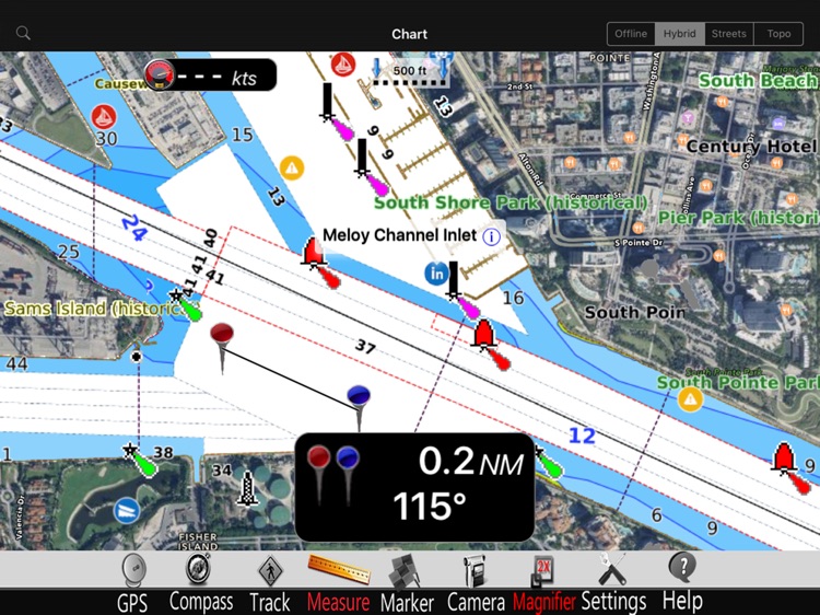
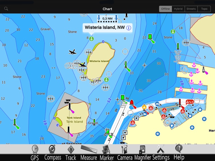
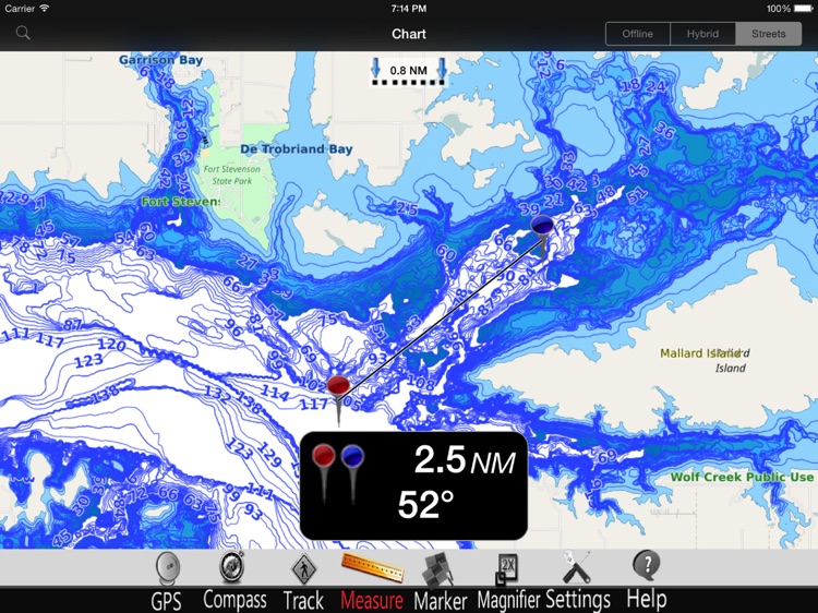
This app displays seamlessly the beauty of NOAA paper charts, a "look and feel" experience combined with S57 data.
You will be impressed how appealing the raster charts look, how easily you pan and zoom and ..there's much more you will like about Mapitech App.
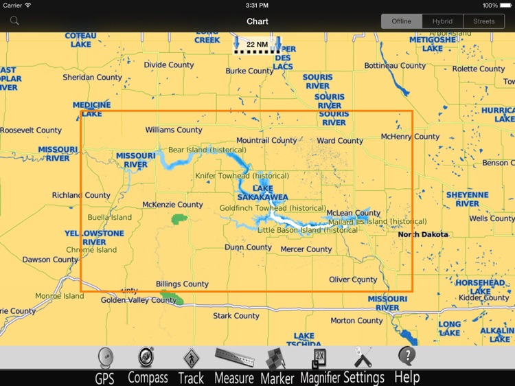
The interactive menu is very intuitive, the maps are downloaded to the device itself, it works in OFFLINE mode. No need of Internet connection.
Chart details and performances of a professional GPS chart plotter at a minimal cost.
At glance:
•It works without mobile coverage (OFFLINE)
•Powerful search
•Multiple overlays for different use (fishing, sailing or cruising)
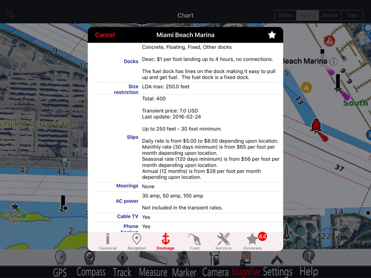
•ActiveCaptain community integration
•KML data shareable
•Very detailed and updated charts
•Waypoints
•Markers & Favorites
•Multiple tracks: Record your track, instant speed time, COG - course over ground
•Geo - tagged photo management
•Distance measure
•Compass
•GPS window with very detailed info
•User friendly on latest iOS
▶ What’s New :
Topo Overlay added
Improved Compass
Enhanced Navigation Window
Chart update
Latest iOS compatibility
Join the Captain community of 100.000+ boaters who write review and provide updated hazard info. Must have for all boaters!
Continued use of GPS running in background can decrease battery life. This only applies if background recording is enabled.
Disclaimer:
AppAdvice does not own this application and only provides images and links contained in the iTunes Search API, to help our users find the best apps to download. If you are the developer of this app and would like your information removed, please send a request to takedown@appadvice.com and your information will be removed.
AppAdvice does not own this application and only provides images and links contained in the iTunes Search API, to help our users find the best apps to download. If you are the developer of this app and would like your information removed, please send a request to takedown@appadvice.com and your information will be removed.