You are using an outdated browser. Please
upgrade your browser to improve your experience.

Seiler – Field2GIS is a mobile field data collection solution that makes capturing and sharing data easy

Seiler - Field2GIS
by TerraGo
What is it about?
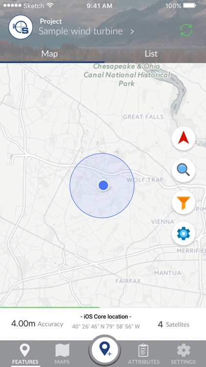
Seiler – Field2GIS is a mobile field data collection solution that makes capturing and sharing data easy. The Seiler mobile GNSS app brings sub-meter to centimeter accuracy to mobile devices, even the most demanding users can take advantage of the modern user interface.
App Store Description
Seiler – Field2GIS is a mobile field data collection solution that makes capturing and sharing data easy. The Seiler mobile GNSS app brings sub-meter to centimeter accuracy to mobile devices, even the most demanding users can take advantage of the modern user interface.
Key features:
- High-precision GNSS support –provides true accuracy and precision reporting from Trimble GNSS receivers, you get a flexible, easy-to-use app that can adapt to your unique requirements with the level of positioning accuracy the job requires
- Advanced GIS integration – Supports GIS data quality management with accuracy settings and multiple methods for GIS data export/import via Shapefiles, CSV, WMS, JSON, and WFS
- Rapid Deployment – Designed for ease of data sharing and universal portability, with an open spatial database, zero proprietary formats and support for a growing number of industry formats and interfaces
- Syncing – Your projects and features are automatically synced across all devices for easy collaboration
- Custom Offline Maps – Create your own maps that can be accessed even without connectivity
- Custom Forms – ensure that field personnel collect exactly what information you need
- Free Online Maps – Free maps from OpenStreetMaps, Mapquest and more
*- Multiple deployment options: Use an on-premise solution server for sensitive data, or take advantage of our cloud hosting for easy setup
- Dashboard – Monitor field operations in real-time
- User Locator – View real-time progress of your workers and their tasks*
* User locator, when enabled, utilizes your GPS to report back your location. Continued use of GPS running in the background can dramatically decrease battery life.
Disclaimer:
AppAdvice does not own this application and only provides images and links contained in the iTunes Search API, to help our users find the best apps to download. If you are the developer of this app and would like your information removed, please send a request to takedown@appadvice.com and your information will be removed.
AppAdvice does not own this application and only provides images and links contained in the iTunes Search API, to help our users find the best apps to download. If you are the developer of this app and would like your information removed, please send a request to takedown@appadvice.com and your information will be removed.