You are using an outdated browser. Please
upgrade your browser to improve your experience.

SmartDirt uses your AGTEK takeoff to display the geo-referenced 3D model, data lines, and plansheets on your iPhone or iPad

SmartDirt
by AGTEK Development Company

What is it about?
SmartDirt uses your AGTEK takeoff to display the geo-referenced 3D model, data lines, and plansheets on your iPhone or iPad.
App Screenshots
App Store Description
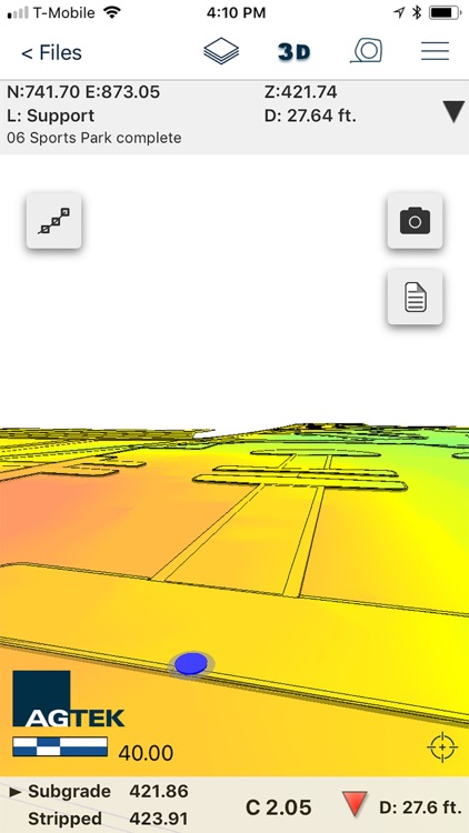
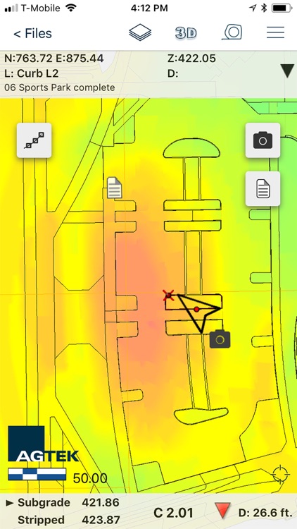
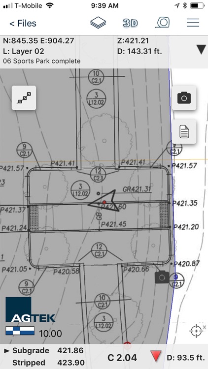
SmartDirt uses your AGTEK takeoff to display the geo-referenced 3D model, data lines, and plansheets on your iPhone or iPad.
Show Cut-Fill as you walk on the interactive grid map or switch to the plans as needed.
Select points to see elevations, coordinates, station & offset, point labels and approximate distance from your location.
Measure slope or distance with a tap or estimate earthwork quantities with the measure tool.
Take pictures, create notes, or create tracks that can be read by Sitework 4D or Google Earth.
Disclaimer:
AppAdvice does not own this application and only provides images and links contained in the iTunes Search API, to help our users find the best apps to download. If you are the developer of this app and would like your information removed, please send a request to takedown@appadvice.com and your information will be removed.
AppAdvice does not own this application and only provides images and links contained in the iTunes Search API, to help our users find the best apps to download. If you are the developer of this app and would like your information removed, please send a request to takedown@appadvice.com and your information will be removed.