You are using an outdated browser. Please
upgrade your browser to improve your experience.

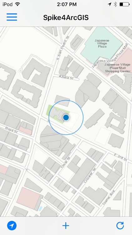
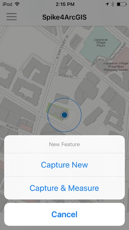
Spike4ArcGIS allows you to capture features with photos and measurements using your Spike device and app and upload them to ArcGIS

Spike for ArcGIS
by ikeGPS, Inc.
What is it about?
Spike4ArcGIS allows you to capture features with photos and measurements using your Spike device and app and upload them to ArcGIS.com.
App Store Description
Spike4ArcGIS allows you to capture features with photos and measurements using your Spike device and app and upload them to ArcGIS.com.
This app also requires the Spike by ikeGPS app and Spike laser measurement device.
Disclaimer:
AppAdvice does not own this application and only provides images and links contained in the iTunes Search API, to help our users find the best apps to download. If you are the developer of this app and would like your information removed, please send a request to takedown@appadvice.com and your information will be removed.
AppAdvice does not own this application and only provides images and links contained in the iTunes Search API, to help our users find the best apps to download. If you are the developer of this app and would like your information removed, please send a request to takedown@appadvice.com and your information will be removed.