You are using an outdated browser. Please
upgrade your browser to improve your experience.

With Stroly - Ogaki, you can see your location on the historic maps in Ogaki-City in Gifu Prefecture, Japan

Stroly - Ogaki
by Stroly Inc.

What is it about?
With Stroly - Ogaki, you can see your location on the historic maps in Ogaki-City in Gifu Prefecture, Japan.
App Screenshots
App Store Description
With Stroly - Ogaki, you can see your location on the historic maps in Ogaki-City in Gifu Prefecture, Japan.
[OVERVIEW]
Stroly is a series of applications that feature the display of the user's current location on any kind of historical or illustrated map.
“Stroly” comes from the word “strolling”. Please enjoy strolling around with this applicaiton. From the Stroly series released the Ogaki City version.
[FEATURES of Ogaki MapBlarij]
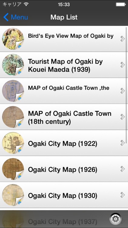
Ten maps from Ogaki city is listed in the Stroly - Ogaki.
Featured Maps:
- Bird's Eye View Map of Ogaki by Tsunemitsu Kaneko (1933)
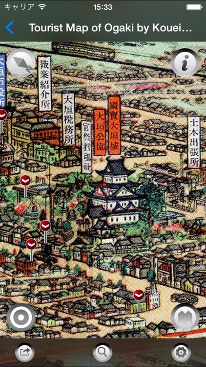
- Tourist Map of Ogaki by Kouei Maeda (1939)
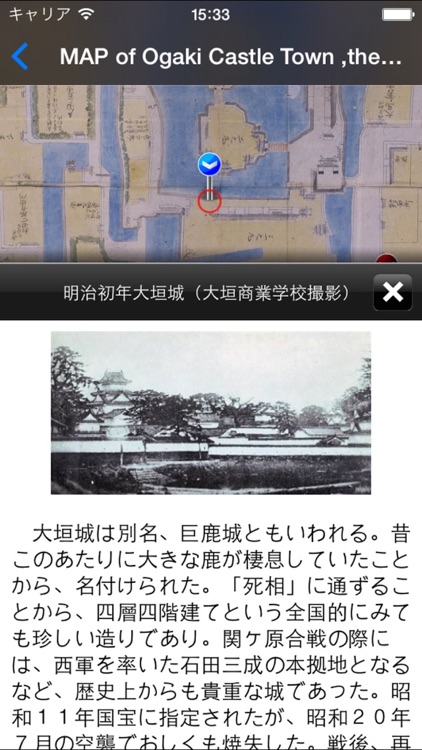
- MAP of Ogaki Castle Town ,the Era of early Edo (16th century)
- MAP of Ogaki Castle Town (18th century)
- Ogaki City Map (1922)
- Ogaki City Map (1926)
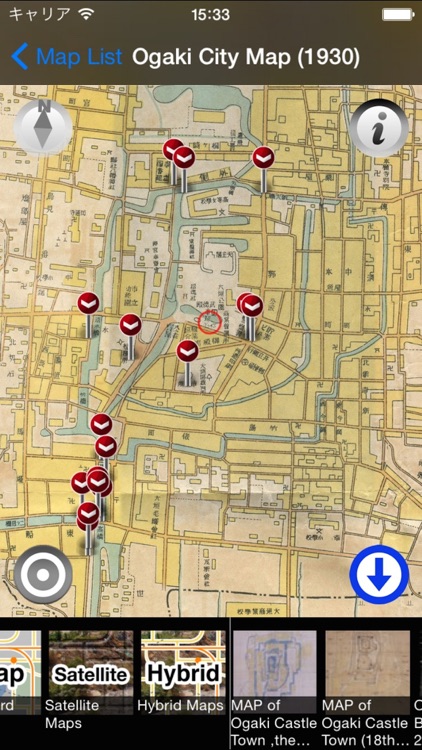
- Ogaki City Map (1930)
- Ogaki City Map (1937)
- Ogaki City Map (1940)
- Ogaki City Street Map (1941)
- Ogaki City Map (1948-)
- OGAKI BIENNALE 2010 map
[App Features]
The user's current location shows up on a variety of historical maps Indicated current location moves, which provides the users with the experience of strolling around in historical maps.
By touching a landmark icon displayed on the map, the user could get information of historical sites around.
Historic MapBlarij has a variety of maps classified by the areas, users could enjoy regional historical maps.The historical maps can be switched to Standard Maps.
[NOTICE]
1. Stroly shows your location using GPS. Using Stroly on iPodTouch or iPad WiFi might not show accurate current position.
2. No modification is done to the description of original maps used in this app.
3. We cannot guarantee 100% accuracy of the maps and locations because of the distortion of the original maps and the GPS accuracy. We would like you to enjoy the original uncertainty of the historical maps.
4. This software is provided by Stroly Inc. and Association Press.
5. We have no intention of violating human rights by disclosing the historical maps.
Please also see Stroly - Obuse, Jimbou MapBlarij and TakatoBurari, available in the App Store.
Disclaimer:
AppAdvice does not own this application and only provides images and links contained in the iTunes Search API, to help our users find the best apps to download. If you are the developer of this app and would like your information removed, please send a request to takedown@appadvice.com and your information will be removed.
AppAdvice does not own this application and only provides images and links contained in the iTunes Search API, to help our users find the best apps to download. If you are the developer of this app and would like your information removed, please send a request to takedown@appadvice.com and your information will be removed.