You are using an outdated browser. Please
upgrade your browser to improve your experience.

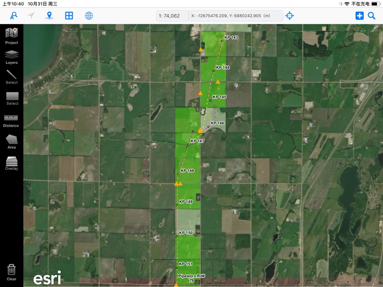
SWiTab100 is a mobile GIS viewer based on the Esri ArcGIS platform

switab100
by MRF Geosystems Corporation


What is it about?
SWiTab100 is a mobile GIS viewer based on the Esri ArcGIS platform.
App Screenshots


App Store Description
SWiTab100 is a mobile GIS viewer based on the Esri ArcGIS platform.
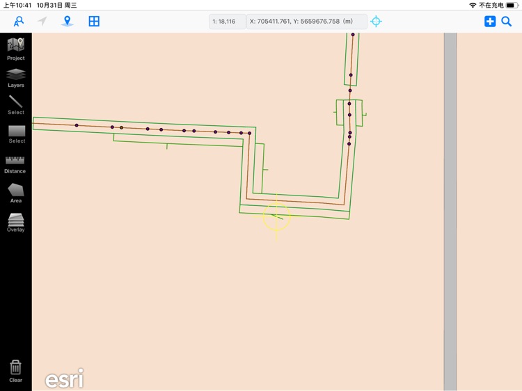
- It shows area map in multiple layers, which can be turned on and off;
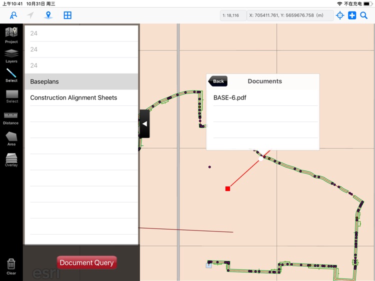
- Documents of different format (PDF, Image, Text, etc.) are supported to be viewed geographically, i.e. associated with map locations or map objects of points / lines / polygons.
- Documents and map layers are grouped in projects of a company.
- Different user can have different accesses to different projects.
- Documents can be searched with spatial search, line cross search or area search.
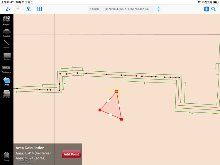
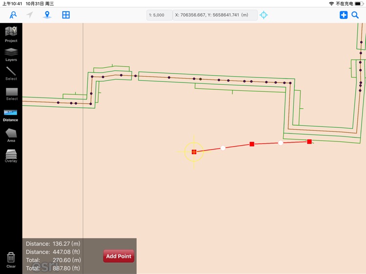
- Measure tools are available for calculating distance and area.
- On-screen locating tools are available for locating by a cords, legal description.
- Project data of layers or reports are stored on a FTP server.
- File changes can be detected and updated from local iPad.
Disclaimer:
AppAdvice does not own this application and only provides images and links contained in the iTunes Search API, to help our users find the best apps to download. If you are the developer of this app and would like your information removed, please send a request to takedown@appadvice.com and your information will be removed.
AppAdvice does not own this application and only provides images and links contained in the iTunes Search API, to help our users find the best apps to download. If you are the developer of this app and would like your information removed, please send a request to takedown@appadvice.com and your information will be removed.