You are using an outdated browser. Please
upgrade your browser to improve your experience.
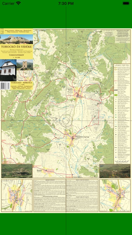
Torockó, Torockószentgyörgy és környéke három nyelvű turistatérképe (Magyarul, angolul és lengyelül lehet használni

T_Torockó
by BEDŐ Árpád
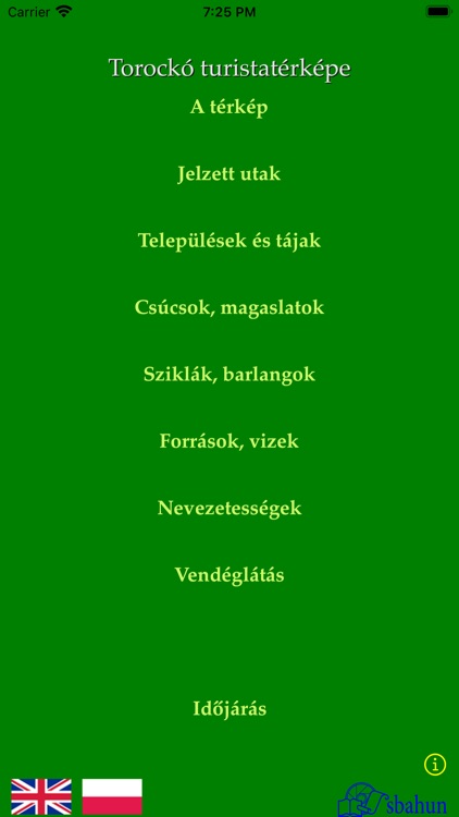
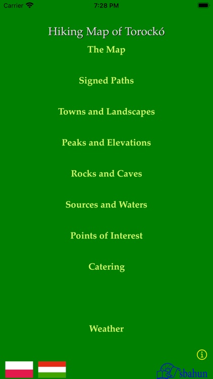
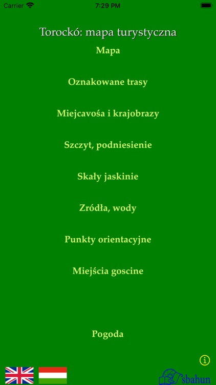
What is it about?
Torockó, Torockószentgyörgy és környéke három nyelvű turistatérképe (Magyarul, angolul és lengyelül lehet használni.)
App Screenshots
App Store Description
Torockó, Torockószentgyörgy és környéke három nyelvű turistatérképe (Magyarul, angolul és lengyelül lehet használni.)
Tourist map of Torockó, Torockószentgyörgy and its environ in three Languages. (It is usable in Hungarian, in English and in Polish.)
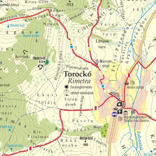
Az alkalmazás a Torockói medence turistatérképét teszi használhatóvá iPad és iPhone készülékeken.
The application provides the hiking map of Torockó basin on iPad and iPhone devices.
A használati útmutatót mindhárom nyelven meg lehet tekinteni a kezdő látvány alsó részén lévő „info” gombra tapintva.
You get the user's guide in each languages by tapping the "info" button in the main screen.
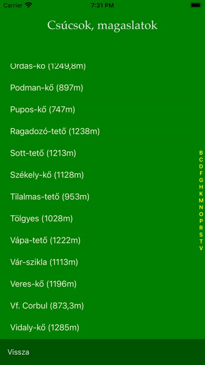
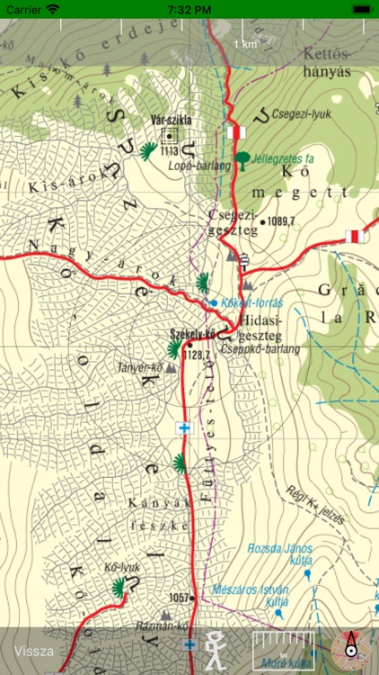
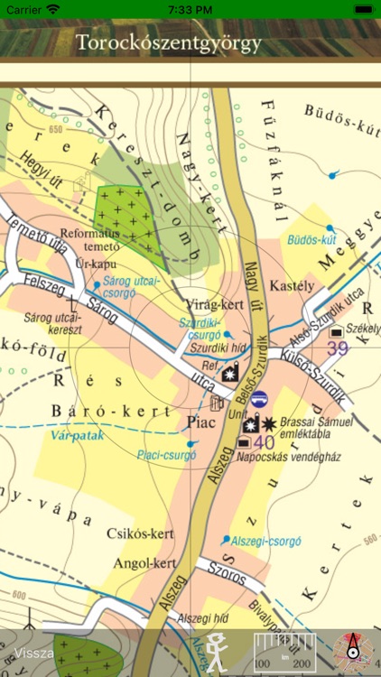
A térkép nagyítható és tologatható. Az égtájaknak megfelelő tájolást iránytűvel segíti. A távolság becslését skálázott vonalzó teszi lehetővé.
The map can be scaled and swiped. You may use a compass. You may use a calibrated line for distance prediction.
Az alkalmazás a GPS rendszer használatával a turista helyzetét pontosan mutatja.
Using GPS, the application shows and follows your position on the map.
Ha az Internet elérhető, az alkalmazásból közvetlenül lehet használni az időjárási adatokat.
Where Internet is available, you may use weather information.
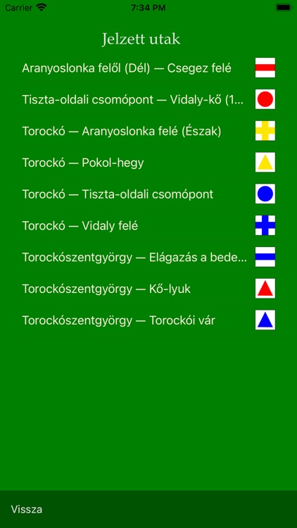
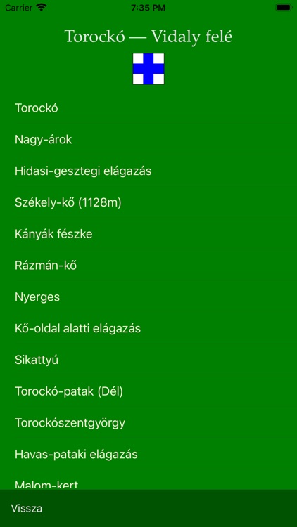
A kiválasztott jelzett út címsora alatt megjelenő turistaút-jelre tapintva az alkalmazás megmutatja az útvonalat („végig megy”) az úton. Az út bemutatását megállíthatjuk és folytattathatjuk ráduplázással illetve a rögzítés feloldásával. A rátapintáskor megjelenő „Vissza” gombbal leállíthatjuk az út bemutatását.
Tapping the icon of an already selected signed path the application shows the whole path (it follows the path from the start to the end point). You may stop the animation by double tapping on the map. The animation continues after tapping the Unlock map button at the bottom. Tapping the map during animation you get the toolbar, where using the Back button you may go back to the description of the signed path.
Disclaimer:
AppAdvice does not own this application and only provides images and links contained in the iTunes Search API, to help our users find the best apps to download. If you are the developer of this app and would like your information removed, please send a request to takedown@appadvice.com and your information will be removed.
AppAdvice does not own this application and only provides images and links contained in the iTunes Search API, to help our users find the best apps to download. If you are the developer of this app and would like your information removed, please send a request to takedown@appadvice.com and your information will be removed.