You are using an outdated browser. Please
upgrade your browser to improve your experience.

Tar Print streamlines the process of calculating pervious and impervious surface percentages by integrating Apple Maps with machine learning and novel computer vision algorithms

Tar Print
by Nagesh Vaddi
What is it about?
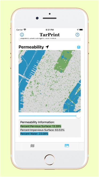
Tar Print streamlines the process of calculating pervious and impervious surface percentages by integrating Apple Maps with machine learning and novel computer vision algorithms. The user can easily analyze surface types without having to train any classifiers.
App Screenshots
App Store Description
Tar Print streamlines the process of calculating pervious and impervious surface percentages by integrating Apple Maps with machine learning and novel computer vision algorithms. The user can easily analyze surface types without having to train any classifiers.
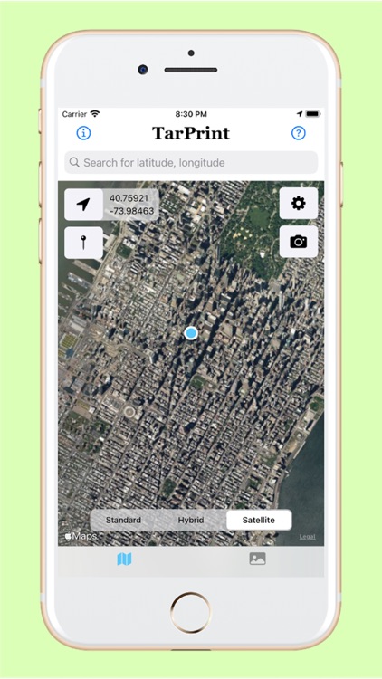
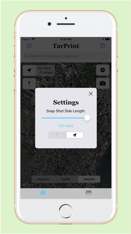
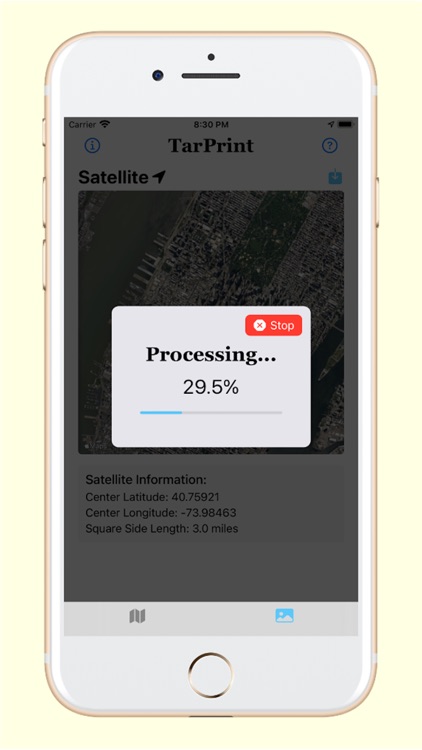
Simply specify a location and settings, and click the camera button to quantify impervious surface percentages.
Allowing more students and researchers easy access to a surface type analyzer increases the extent of citizen science and environmental stewardship efforts to mitigate the harmful impacts of urban development on local water quality and stream ecology.
• • •
Please Note: While we offer location services, we DO NOT collect or store any location data. This resource is intended for in-the-field research, environmental stewardship projects, urban development, stormwater management, or any other project for which surface percentage types are of benefit. Also, we are currently assessing the accuracy of Tar Print against well-known remote sensing tools such as ArcGIS, to obtain results which we will make public.
Disclaimer:
AppAdvice does not own this application and only provides images and links contained in the iTunes Search API, to help our users find the best apps to download. If you are the developer of this app and would like your information removed, please send a request to takedown@appadvice.com and your information will be removed.
AppAdvice does not own this application and only provides images and links contained in the iTunes Search API, to help our users find the best apps to download. If you are the developer of this app and would like your information removed, please send a request to takedown@appadvice.com and your information will be removed.