You are using an outdated browser. Please
upgrade your browser to improve your experience.

Topographic maps and satellite imagery for the United States and Canada from the US Geological Survey and Natural Resources Canada in 2D and 3D

Topo Maps 2
by Mappendix Limited

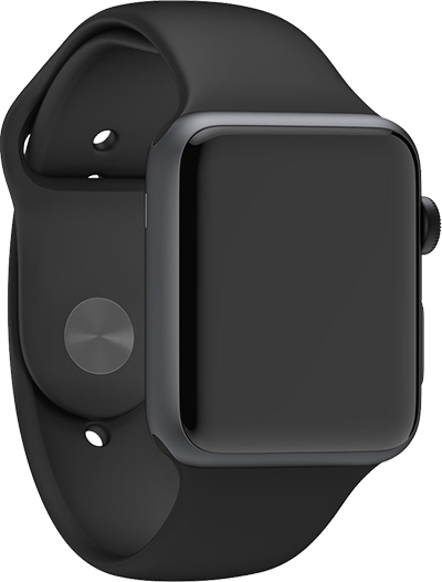

Topo Maps 2 Offers Apple Watch App
Check the details on WatchAware
Check the details on WatchAware
What is it about?
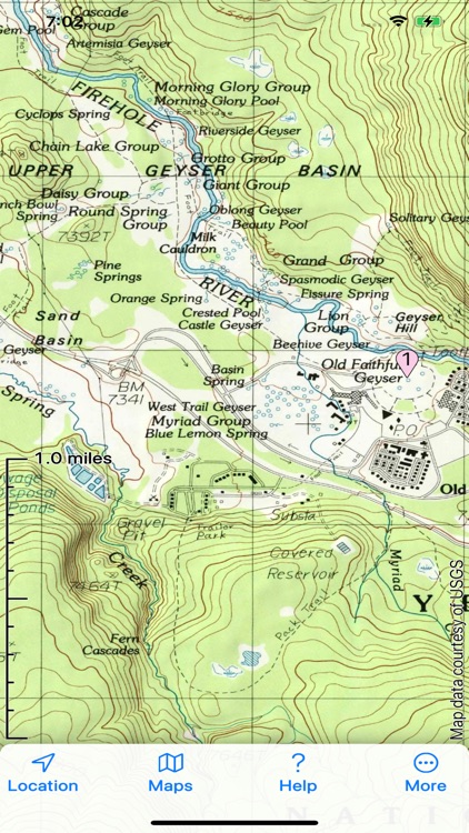
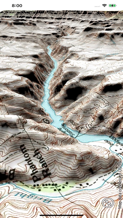
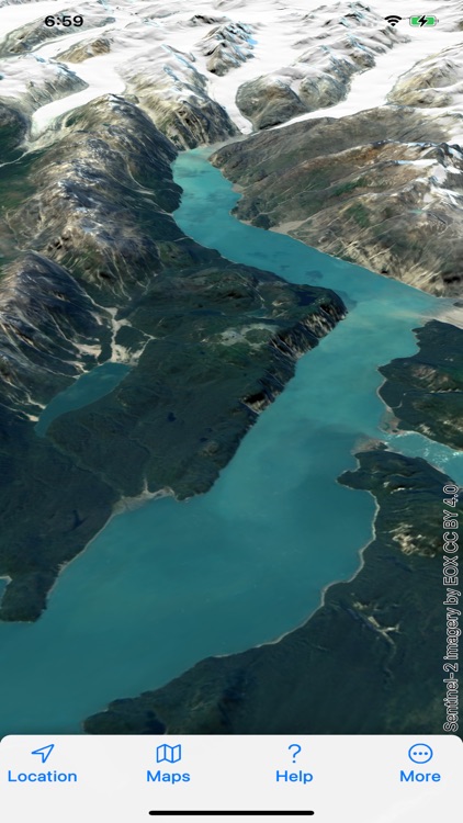
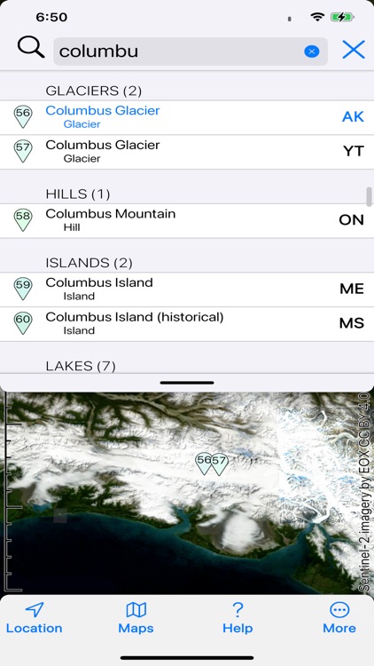
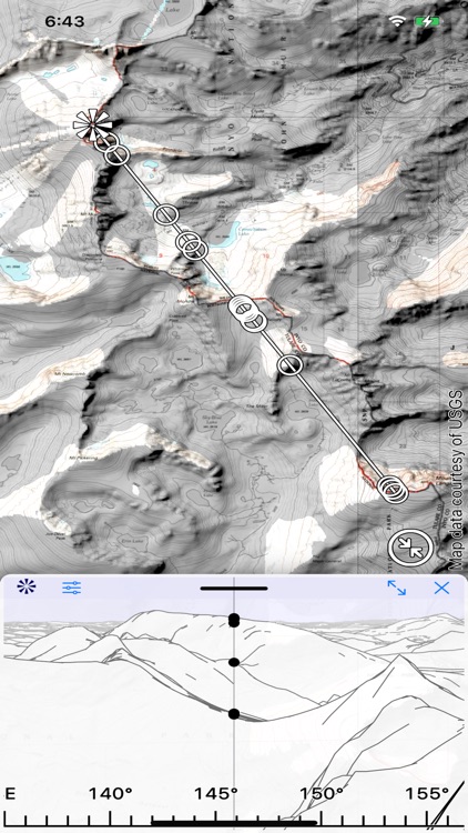
Topographic maps and satellite imagery for the United States and Canada from the US Geological Survey and Natural Resources Canada in 2D and 3D. No network connection needed once maps are installed. Record your track, and share GPX files with other apps and devices. Hybrid map mode combines topo with imagery. Panorama mode shows silhouette of what's visible from anywhere on the map. Draw routes on the map; plot graphs of speed and altitude. "Fly" along routes in 3D. Offline search. Show your geolocated photos on the map. If you have our original Topo Maps or Topo Maps for iPad app installed, its maps will be shared with this app.
App Screenshots


App Store Description
Topographic maps and satellite imagery for the United States and Canada from the US Geological Survey and Natural Resources Canada in 2D and 3D. No network connection needed once maps are installed. Record your track, and share GPX files with other apps and devices. Hybrid map mode combines topo with imagery. Panorama mode shows silhouette of what's visible from anywhere on the map. Draw routes on the map; plot graphs of speed and altitude. "Fly" along routes in 3D. Offline search. Show your geolocated photos on the map. If you have our original Topo Maps or Topo Maps for iPad app installed, its maps will be shared with this app.
End User License Agreement:
https://www.apple.com/legal/internet-services/itunes/dev/stdeula/
Disclaimer:
AppAdvice does not own this application and only provides images and links contained in the iTunes Search API, to help our users find the best apps to download. If you are the developer of this app and would like your information removed, please send a request to takedown@appadvice.com and your information will be removed.
AppAdvice does not own this application and only provides images and links contained in the iTunes Search API, to help our users find the best apps to download. If you are the developer of this app and would like your information removed, please send a request to takedown@appadvice.com and your information will be removed.