You are using an outdated browser. Please
upgrade your browser to improve your experience.

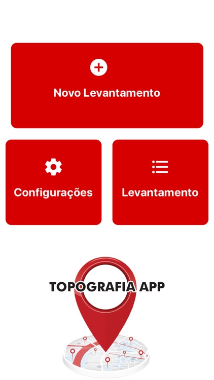
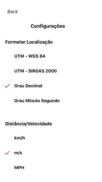
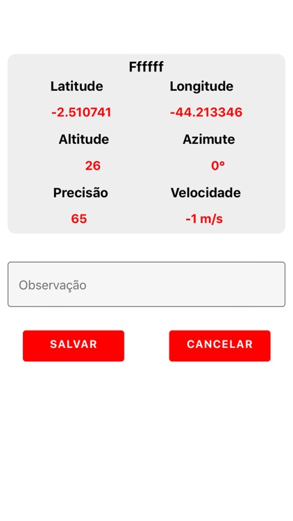
The Topography APP is an excellent application for georeferencing or land surveying, design of electrical networks, avenues, streets, subdivisions and studies in general

TopografiaApp
by Elton Silva

What is it about?
The Topography APP is an excellent application for georeferencing or land surveying, design of electrical networks, avenues, streets, subdivisions and studies in general.
App Screenshots
App Store Description
The Topography APP is an excellent application for georeferencing or land surveying, design of electrical networks, avenues, streets, subdivisions and studies in general.
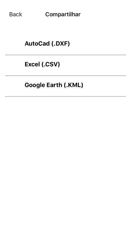
Export your surveys to DXF (Autocad), KML (Google Earth), CSV (MS Excel) without the slightest difficulty and the possibility of transmission by email of their withdrawals directly from the field to the office.
In the Professional version you can mark up to 5000 points for surveys.
Disclaimer:
AppAdvice does not own this application and only provides images and links contained in the iTunes Search API, to help our users find the best apps to download. If you are the developer of this app and would like your information removed, please send a request to takedown@appadvice.com and your information will be removed.
AppAdvice does not own this application and only provides images and links contained in the iTunes Search API, to help our users find the best apps to download. If you are the developer of this app and would like your information removed, please send a request to takedown@appadvice.com and your information will be removed.