You are using an outdated browser. Please
upgrade your browser to improve your experience.

** The #1 Topo Maps App for iOS **

Topographic Maps & Trails
by LW Brands, LLC
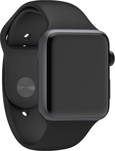

Topographic Maps & Trails Offers Apple Watch App
Check the details on WatchAware
Check the details on WatchAware
What is it about?
** The #1 Topo Maps App for iOS **
App Screenshots
App Store Description
** The #1 Topo Maps App for iOS **
MAIN FEATURES INCLUDE:
- USGS Topographic Maps
- USFS Topographic Maps
- Satellite + Topo Maps
- Hiking Tracker
* Download all maps for offline use
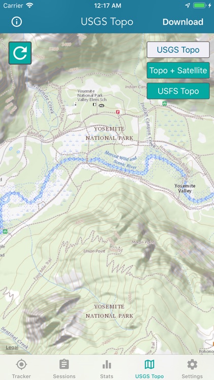
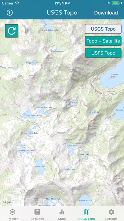
USGS TOPO MAP
USGS Topo is a tile cache base map service that combines the most current data in The National Map (TNM), and other public-domain data, into a multi-scale topographic reference map.
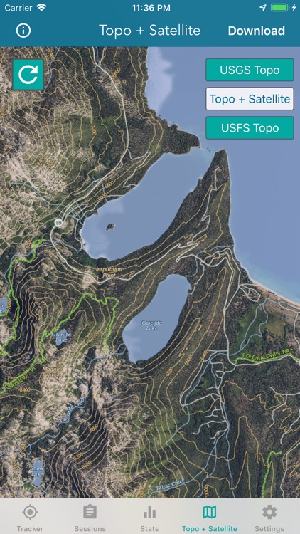
TOPO + SATELLITE
USGS Imagery Topo is a tile cache base map of orthoimagery in The National Map and US Topo vector data. Orthoimagery data are typically high resolution images that combine the visual attributes of an aerial photograph with the spatial accuracy and reliability of a planimetric map.
Data themes included are Boundaries, Geographic Names, Transportation, Contours, Hydrography, Land Cover, Shaded Relief, Trails, etc.
USFS TOPO MAP
The USFS Topo Map Area of Interest covers the USFS National Forests and Grasslands.
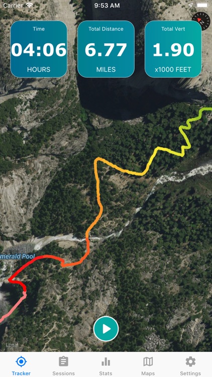
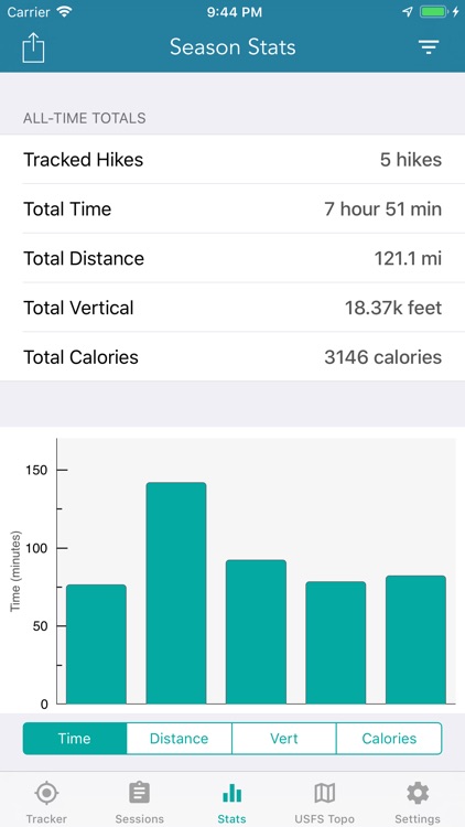
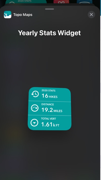
HIKING TRACKER
Now you can track all of your hiking stats!
- Track total distance, vertical, time
- Track calories burned
- Keep track of yearly stats
- Color coded tracks by elevation
- Backup your hike data to iCloud
- iOS 14 home screen widget
Have questions?
Feel free to contact me at support@lwbrandsllc.com
Disclaimer:
AppAdvice does not own this application and only provides images and links contained in the iTunes Search API, to help our users find the best apps to download. If you are the developer of this app and would like your information removed, please send a request to takedown@appadvice.com and your information will be removed.
AppAdvice does not own this application and only provides images and links contained in the iTunes Search API, to help our users find the best apps to download. If you are the developer of this app and would like your information removed, please send a request to takedown@appadvice.com and your information will be removed.