You are using an outdated browser. Please
upgrade your browser to improve your experience.

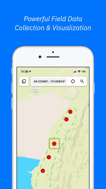
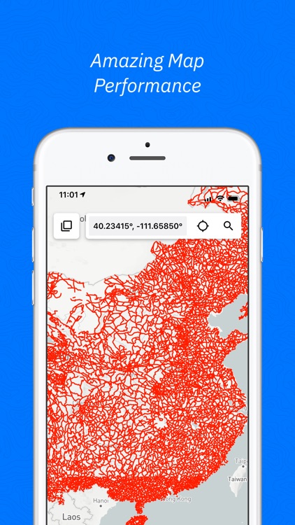
Touch GIS is a professional field data collection and visualization tool offering advanced, intuitive, and flexible mapping

Touch GIS
by TouchGIS
What is it about?
Touch GIS is a professional field data collection and visualization tool offering advanced, intuitive, and flexible mapping. It's your super-powered field notebook enabling you to collect any data, in any environment, with or without wifi, in a format that transfers easily to your preferred desktop GIS choice. We believe your data collection tools should amplify your capabilities, not limit them, which is why we focus on keeping your forms and attributes totally customizable in situ.
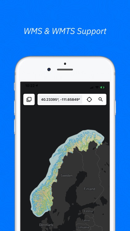
App Screenshots
App Store Description
Touch GIS is a professional field data collection and visualization tool offering advanced, intuitive, and flexible mapping. It's your super-powered field notebook enabling you to collect any data, in any environment, with or without wifi, in a format that transfers easily to your preferred desktop GIS choice. We believe your data collection tools should amplify your capabilities, not limit them, which is why we focus on keeping your forms and attributes totally customizable in situ.
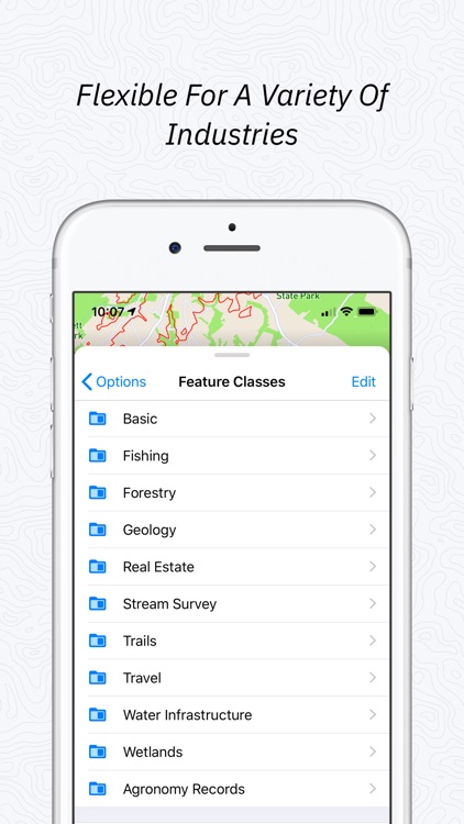
Join thousands of professionals utilizing Touch GIS to enhance their field work in geologic mapping, ecological mapping, mineral exploration and mining, natural resource management, landscape architecture, and more.
FEATURES
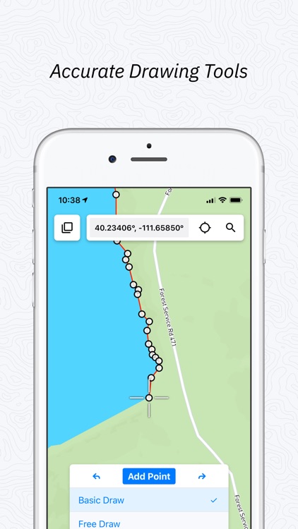
- Easily create Points, Lines, Polygons, and Circles
- Simplify line and polygon drawing with free draw mode
- Modify collection and attribute forms in the field at any time
- Switch between different base maps for multiple perspectives
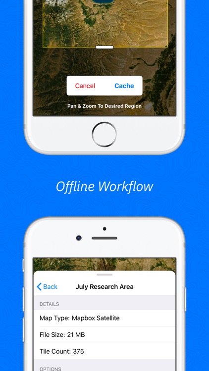
- Save map tiles for offline use
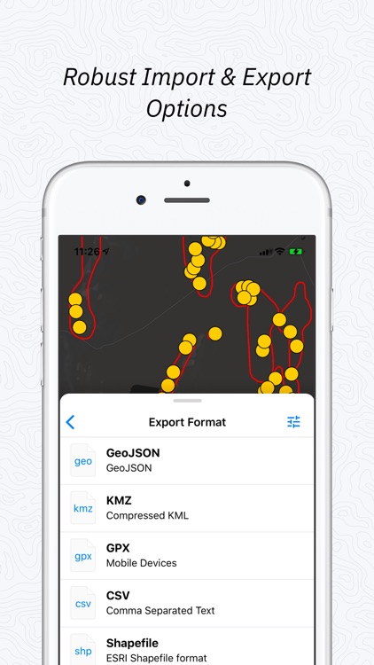
- Export to a variety of industry standard formats
- Snap, mark up, and attach photos to locations
- Measure planar features (strike/azimuth and dip) with our attitude and clinometer tool
- Add custom base maps with WMS/WMTS
- Add Rasters and other overlays to your map
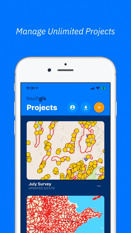
- Add team members so your whole team has access
FILE TYPES SUPPORTED
- Shapefile
- KML/KMZ
- GeoJSON
- GPX
- CSV (Export)
- World File
- Geotiff
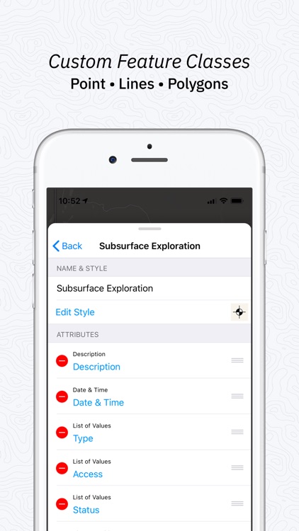
Customizable attribute types:
- Description
- Date & Time
- Photos
- List Of Values
- Checkbox
- Address
- Number
- Website
- Phone Number
- Make your own
PRELOADED FEATURE CLASSES
- Forestry
- Geology
- Real Estate
- Stream Surveys
- Water Infrastructure
- Wetlands
- Create Your Own!
Terms of Service: https://www.touchgis.app/terms-of-service
Privacy Policy: https://www.touchgis.app/privacy
Disclaimer:
AppAdvice does not own this application and only provides images and links contained in the iTunes Search API, to help our users find the best apps to download. If you are the developer of this app and would like your information removed, please send a request to takedown@appadvice.com and your information will be removed.
AppAdvice does not own this application and only provides images and links contained in the iTunes Search API, to help our users find the best apps to download. If you are the developer of this app and would like your information removed, please send a request to takedown@appadvice.com and your information will be removed.