You are using an outdated browser. Please
upgrade your browser to improve your experience.

Trail Treker is a map viewing tool for use with the Trail Treker map publishing service

Trail Treker
by Trail Treker, LLC


What is it about?
Trail Treker is a map viewing tool for use with the Trail Treker map publishing service. Trail Treker works with clubs, tourism agencies and municipalities to make their maps work offline on end user smartphones. Once the map is loaded, you no longer need phone service; the GPS receiver in your phone will operate without phone service. In fact, we recommend that you place your phone in Airplane Mode if you are in an area with limited or partial phone service to conserve your battery.
Trail Treker is $1.99 but there are more add-ons
-
$1.99
Sawyer County
-
$1.99
West Yellowstone
-
$1.99
Bayfield County
-
$1.99
Canyon Creek
-
$1.99
Douglas County
-
$1.99
Desert Mountain
-
$1.99
Arrowhead Trail
-
$1.99
Kings Hill
-
$1.99
Seeley Lake
-
$1.99
Chippewa County
App Screenshots


App Store Description
Trail Treker is a map viewing tool for use with the Trail Treker map publishing service. Trail Treker works with clubs, tourism agencies and municipalities to make their maps work offline on end user smartphones. Once the map is loaded, you no longer need phone service; the GPS receiver in your phone will operate without phone service. In fact, we recommend that you place your phone in Airplane Mode if you are in an area with limited or partial phone service to conserve your battery.
Trail Treker will also electronically, via GPS location, show local businesses and points of interest. You can store your own points of interest as well. Key points such as survival shelters, supplies, or emergency evacuation points may be shown on various maps.
The Trail Treker app will allow you to download any member map. If you have a member map code, the map will be free. If not, the map will be an additional purchase.
Continued use of GPS in the background can decrease battery life.
FEATURES:
Show Trail map overlaid on various Google maps (Standard Street, Terrain, Satellite)
Show your position on top of any map.
Record your position and tracks
Record notes regarding position points
Share your saved positions or tracks with others
See local businesses on or near mapping area
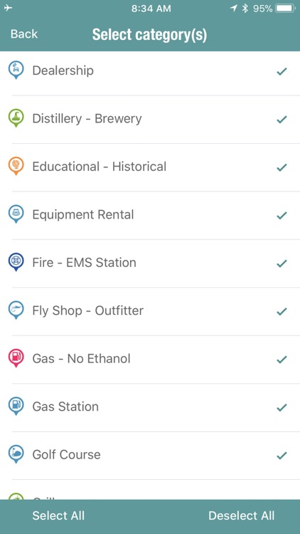
Filter local businesses by category
Load and layer up to two maps concurrently and any number of tracks.
Load any number of maps (storage space required)
Disclaimer:
AppAdvice does not own this application and only provides images and links contained in the iTunes Search API, to help our users find the best apps to download. If you are the developer of this app and would like your information removed, please send a request to takedown@appadvice.com and your information will be removed.
AppAdvice does not own this application and only provides images and links contained in the iTunes Search API, to help our users find the best apps to download. If you are the developer of this app and would like your information removed, please send a request to takedown@appadvice.com and your information will be removed.