You are using an outdated browser. Please
upgrade your browser to improve your experience.

TrailTool app can be used to record GPS tracks or point of interest

TrailTool
by Zhiguang Han

What is it about?
TrailTool app can be used to record GPS tracks or point of interest. It will also let you make your own map by directly importing OpenStreetMap data. It's designed to work without cellular connection, so you can take it to places where there's no coverage.
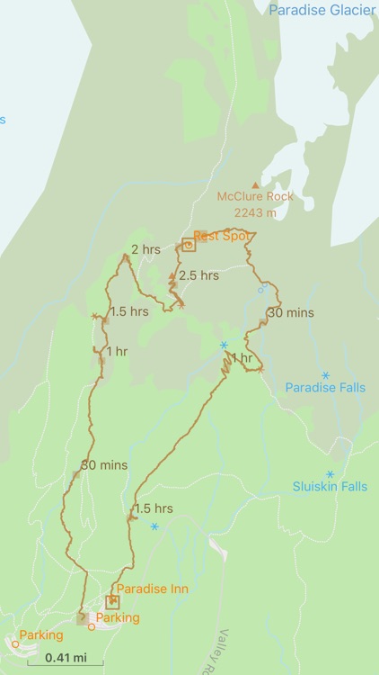
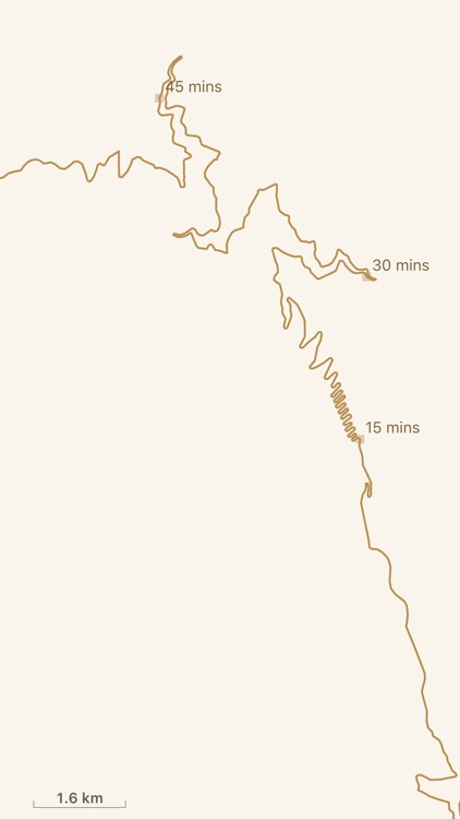
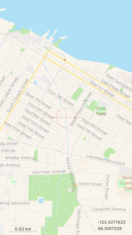
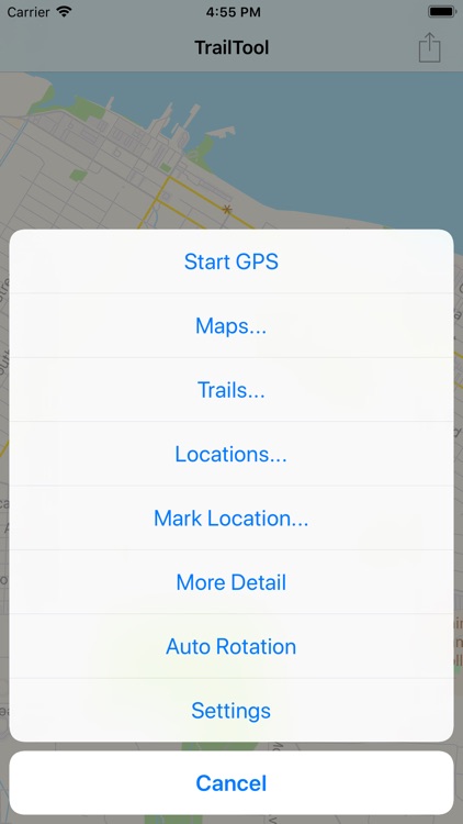
App Screenshots
App Store Description
TrailTool app can be used to record GPS tracks or point of interest. It will also let you make your own map by directly importing OpenStreetMap data. It's designed to work without cellular connection, so you can take it to places where there's no coverage.
For privacy and security reason, all saved location data are always stored on local device only, no data is ever uploaded to the cloud.
### Main Features
− Record GPS tracks or point of interests. Import/Export of GPS tracks or point of interests for trip planning.
− Extensive support for OpenStreetMap data, which is a high quality, free to use dataset covers the entire world.
− Preserve source data precision, no quality lost on mobile device.
− Supported data exchange format: OSM, PBF, GeoJSON/JSON, and GPX for importing/exporting GPS tracks or point of interests.
− Support data sharing via AirDrop and standard iOS share functionality.
− Map data can be imported in default native language or English language when it's available. Very helpful for traveling to places where you don't know the local language.
Note:
For devices that do not have GPS, this app can still be used to review map data, saved trails or point of interests. But you will not be able to record trails or on location point of interest.
### Map Data
The app comes with one sample dataset. You can add additional datasets from OpenStreetMap web site. For more information and step by step examples, please visit TrailTool web site at: https://yadingstudio.com/apps/TrailTool/index.html
Hope you'll find this app useful in your travel or hiking adventure!
Disclaimer:
AppAdvice does not own this application and only provides images and links contained in the iTunes Search API, to help our users find the best apps to download. If you are the developer of this app and would like your information removed, please send a request to takedown@appadvice.com and your information will be removed.
AppAdvice does not own this application and only provides images and links contained in the iTunes Search API, to help our users find the best apps to download. If you are the developer of this app and would like your information removed, please send a request to takedown@appadvice.com and your information will be removed.