You are using an outdated browser. Please
upgrade your browser to improve your experience.

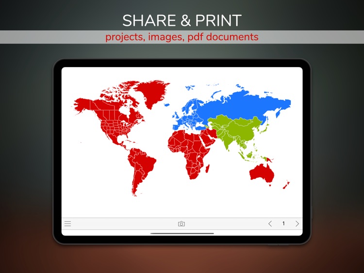
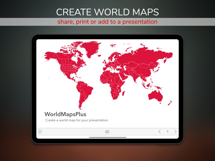
Do you need a world map for a presentation or a lecture

WorldMaps+ for infographics
by morePaths.com

What is it about?
Do you need a world map for a presentation or a lecture?
App Screenshots

App Store Description
Do you need a world map for a presentation or a lecture?
This application is a powerful tool to quickly create professional infographics images based on world maps on your iPad.
Three simple steps:
1) Select country.
2) Choose a style.
3) Print or export your photos as PDF or image files.
Key features:
External monitor:
When an external monitor is connected, the active world map also appears on the screen.
Each modification on the iPad appears on the external screen.
Infographics:
We can save each infographic as images directly to the photos gallery on the device.
Offline world maps:
Maps are always available, even without an internet connection.
You can work on presentations anytime, everywhere.
Double Layout:
The elements on the page automatically rearrange based on the orientation of the iPad.
Within the same project, a map can have different layouts.
The app remembers the layouts at each change of orientation.
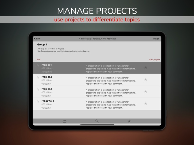
Projects Management:
- Favorites: the projects can be added to a shortlist for easy access.
- Grouping: Groups organize projects in subsets.
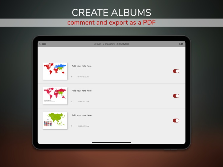
Report Generator:
We can export each collection of infographics as a PDF file and include additional notes.
Sharing with Encryption:
Share projects and images securely. The content is encrypted, and it can be read-only if the recipient knows the password. Feel free to send data across the internet, even outside your office, always securely.
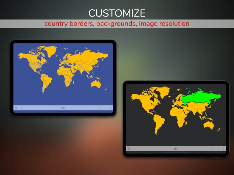
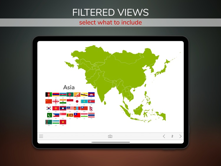
Filters:
Each project can represent different views of the same world map.
A view is a world map representing a filtered list of nations with a specific layout and content.
We can use filters for quick formatting or for printing a different area of a map.
User Interface Themes:
The user interface supports dark mode and adapts automatically to the device settings.
Feedbacks are welcome!
We hope you will enjoy working with world maps and infographics, write to us to comment or propose changes.
Disclaimer:
AppAdvice does not own this application and only provides images and links contained in the iTunes Search API, to help our users find the best apps to download. If you are the developer of this app and would like your information removed, please send a request to takedown@appadvice.com and your information will be removed.
AppAdvice does not own this application and only provides images and links contained in the iTunes Search API, to help our users find the best apps to download. If you are the developer of this app and would like your information removed, please send a request to takedown@appadvice.com and your information will be removed.