You are using an outdated browser. Please
upgrade your browser to improve your experience.

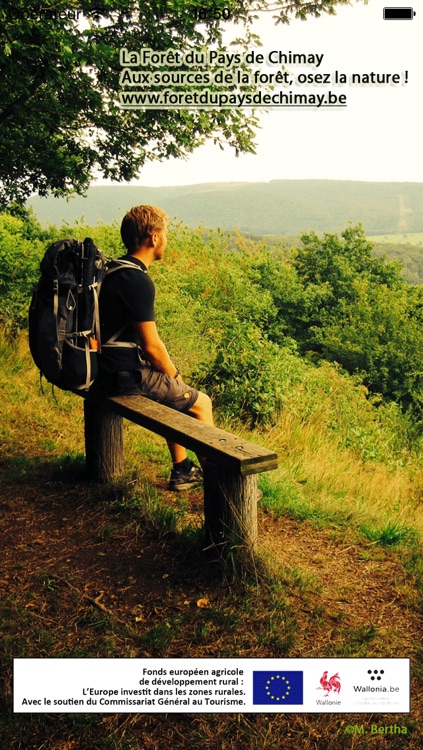
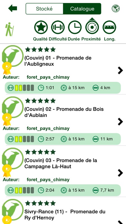
The Xplore Forêt du Pays de Chimay app lets you download over a hundred hiking circuits through the wonderful landscapes of this unspoilt natural area, covering the municipalities of Sivry-Rance, Froidchapelle, Chimay, Momignies, Couvin, Doische, Philippeville and Viroinval

Xplore Forêt du Pays de Chimay - Outdoor trips
by Geolives Belgium S.P.R.L.
What is it about?
The Xplore Forêt du Pays de Chimay app lets you download over a hundred hiking circuits through the wonderful landscapes of this unspoilt natural area, covering the municipalities of Sivry-Rance, Froidchapelle, Chimay, Momignies, Couvin, Doische, Philippeville and Viroinval.
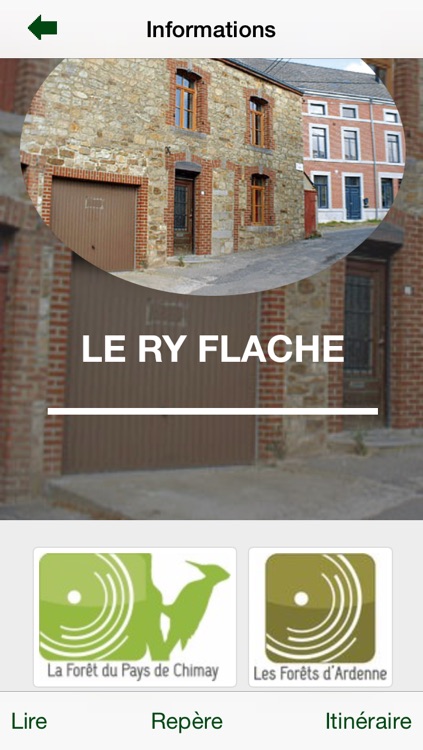
App Screenshots
App Store Description
The Xplore Forêt du Pays de Chimay app lets you download over a hundred hiking circuits through the wonderful landscapes of this unspoilt natural area, covering the municipalities of Sivry-Rance, Froidchapelle, Chimay, Momignies, Couvin, Doische, Philippeville and Viroinval.
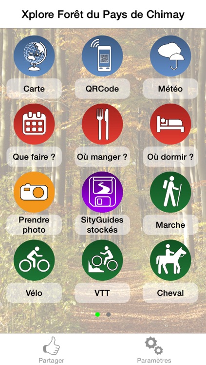
There’s something for everyone - hikers, mountain bikers, horse-riders, geocachers, etc.
Choose your route according to your location, length, difficulty, change in altitude, accessibility, and heritage and tourist attractions you want to see.
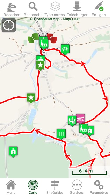
After downloading it, you will have access to GPS tracking without needing an internet connection, as well as a whole range of geolocated information about the natural and cultural heritage sites encountered along the way, and essential visitor resources such as places to stay or eat, tourist activities, events, etc.
The Grande Traversée de la Forêt du Pays de Chimay (Great Crossing of the Chimay Forest), a Grande Randonnée hiking itinerary of 178 km featuring 9 bivouac areas where hikers can pitch their tent for the night free of charge, is also available on the app.
Interested? Well don’t hesitate, download the Xplore Forêt du Pays de Chimay app free of charge and discover this superb and amazingly varied region.
Enjoy your trip!
Main features
- Can download background maps, hiking routes and related content.
- Points of interest automatically triggered when passing nearby. These texts can be read by speech synthesis.
- Alarm that sounds if you stray from the chosen itinerary.
- The distance, difficulty, duration and altitude of the hikes.
- 4-day weather forecast according to your position on the map.
- GPS route on OpenStreetMap
- Locate your position using GPS.
WARNING : Continued use of GPS running in the background can dramatically decrease battery life.
Disclaimer:
AppAdvice does not own this application and only provides images and links contained in the iTunes Search API, to help our users find the best apps to download. If you are the developer of this app and would like your information removed, please send a request to takedown@appadvice.com and your information will be removed.
AppAdvice does not own this application and only provides images and links contained in the iTunes Search API, to help our users find the best apps to download. If you are the developer of this app and would like your information removed, please send a request to takedown@appadvice.com and your information will be removed.