You are using an outdated browser. Please
upgrade your browser to improve your experience.

Aplikacja Zabrze Mobile jest rozszerzeniem funkcjonalności istniejącego Systemu Informacji o Terenie, która zapewnia dostęp do wybranych danych z odniesieniami przestrzennymi

Zabrze mobile
by GISPartner Sp. z o.o.
What is it about?
Aplikacja Zabrze Mobile jest rozszerzeniem funkcjonalności istniejącego Systemu Informacji o Terenie, która zapewnia dostęp do wybranych danych z odniesieniami przestrzennymi.
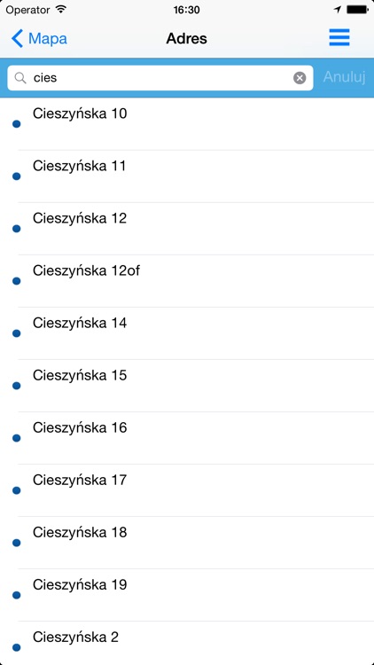
App Screenshots
App Store Description
Aplikacja Zabrze Mobile jest rozszerzeniem funkcjonalności istniejącego Systemu Informacji o Terenie, która zapewnia dostęp do wybranych danych z odniesieniami przestrzennymi.
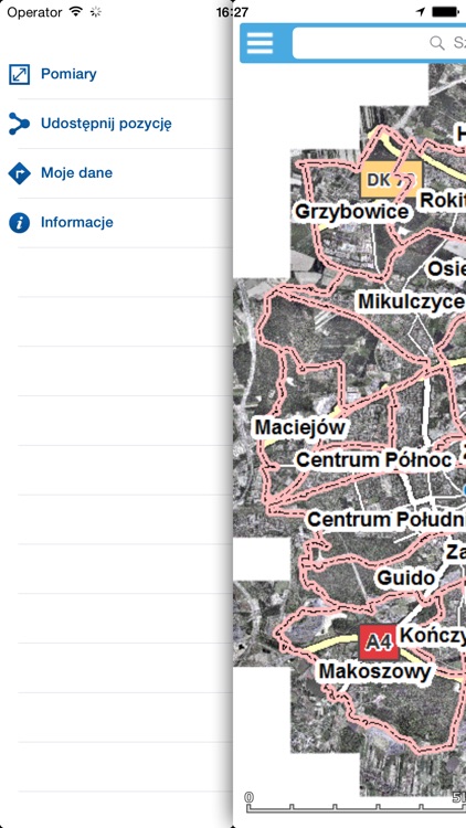
Aplikacja umożliwia użytkownikowi przeglądanie kompozycji mapowych oraz dostarcza następujące funkcje:
• Nawigacja w oknie mapy – zasięg mapy zostanie zmieniony (przesunięty, zwiększony, zmniejszony) zgodnie z działaniem wykonanym przez użytkownika,
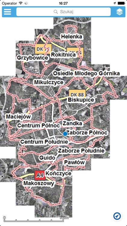
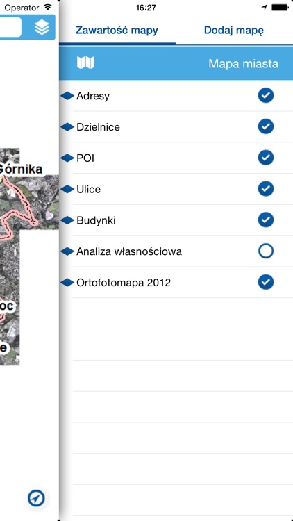
• Zarządzanie widocznością warstw i serwisów. Przykładem jest Ortofotomapa, której treść przedstawiona jest obrazem aerofotograficznym (zwykle zdjęcia lotnicze lub satelitarne powierzchni ziemskiej)
• Dodawanie zewnętrznych usług WMS – usługa umożliwia rozszerzenie kompozycji mapowych o usługi WMS rejestru usług systemu,
• Wyszukiwanie adresów oraz działek – wyszukane obiekty mogą zostać zlokalizowane w oknie mapy,
• Pomiar długości linii rysowanej na mapie,
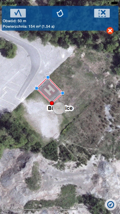
• Pomiar powierzchni i obwodu poligonu narysowanego na mapie,
• Udostępnij lokalizację – umożliwia użytkownikowi udostępnianie aktualnej pozycji jako link do aplikacji wyświetlający wskazane współrzedne na mapie,
• Identyfikacja adresów, miejscowości – użytkownik wykorzystując gest Long Press (długie naciśnięcie) na mapie ma możliwość pobrania informacji o obiektach we wskazanym punkcie
Uwaga:
Używanie GPS działającego w tle może znacznie zmniejszyć żywotność baterii.
Mobile Zabrze app is a functionality extension of existing Land Information System, which provides access to selected data with spatial references.
This app enables user viewing maps and provides him the following functions:
• Map window navigation – changing map extent based on users action (pan, zoom in, zoom out)
• Visibility and services layer management. The example is Orthophotomap (usually aerial or satellite photos of earth's surface)
• Adding external WMS services – this service allows user to add map content by adding WMS services.
• Searching for address and parcels – a chosen address or parcel will be displayed in map window.
• Measure length – measures the length of a line drawn on map,
• Measure area – enables measurement of area or outline of a drawn polygon,
• Current location – allows user to share his current position as the link to the application displaying coordinates on the map,
• Identification of addresses and localities - using gesture Long Press (long press) on the map, you can download information about the objects in the specified point.
Disclaimer:
Continued use of GPS running in the background can dramatically decrease battery life.
Disclaimer:
AppAdvice does not own this application and only provides images and links contained in the iTunes Search API, to help our users find the best apps to download. If you are the developer of this app and would like your information removed, please send a request to takedown@appadvice.com and your information will be removed.
AppAdvice does not own this application and only provides images and links contained in the iTunes Search API, to help our users find the best apps to download. If you are the developer of this app and would like your information removed, please send a request to takedown@appadvice.com and your information will be removed.