You are using an outdated browser. Please
upgrade your browser to improve your experience.
ESA's two European Remote Sensing (ERS) satellites, ERS-1 and –2, were launched into the same orbit in 1991 and 1995 respectively

ESA ERS
by ESA - European Space Agency
What is it about?
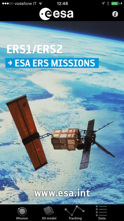
ESA's two European Remote Sensing (ERS) satellites, ERS-1 and –2, were launched into the same orbit in 1991 and 1995 respectively. Their payloads included a synthetic aperture imaging radar, radar altimeter and instruments to measure ocean surface temperature and wind fields.
App Screenshots
App Store Description
ESA's two European Remote Sensing (ERS) satellites, ERS-1 and –2, were launched into the same orbit in 1991 and 1995 respectively. Their payloads included a synthetic aperture imaging radar, radar altimeter and instruments to measure ocean surface temperature and wind fields.
ERS-2 added an additional sensor for atmospheric ozone monitoring. The two satellites acquired a combined data set extending over two decades.
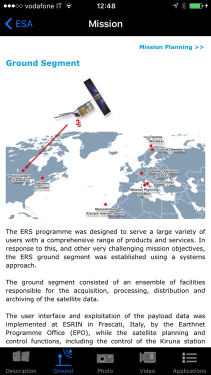
This application is a gateway to knowing what the mission is about, how it works and what the elements of the space and ground segment that makes this mission unique are.
it includes also a dedicated section that allows one to discover and visualize optical measurements over our planet
Features:
- Description of the ERS missions: space and ground segment
- Large selection of photos and videos on a wide range of topics related to ERS missions
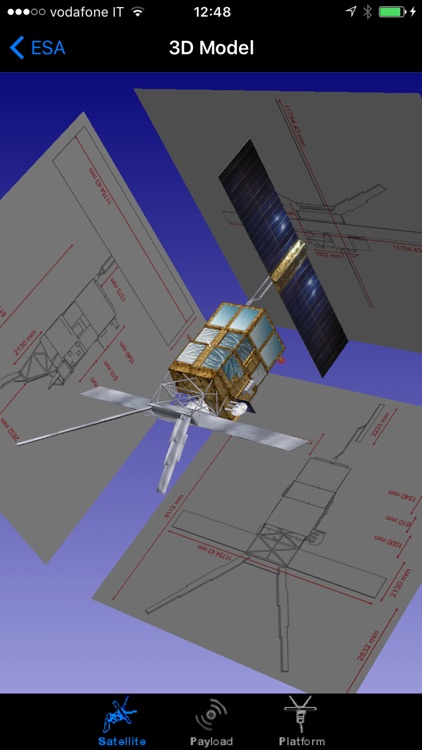
- Striking ERS 3D models with explanations of the different platform and payload elements
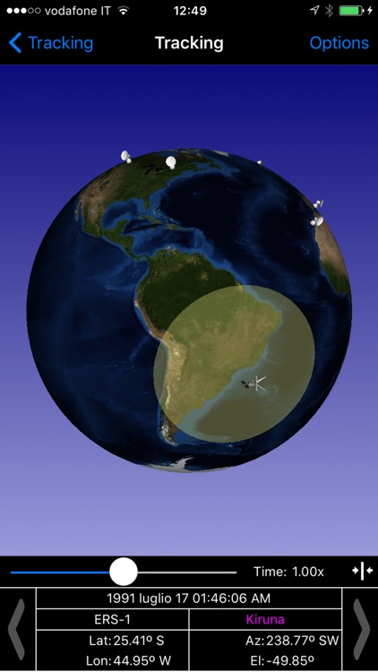
- World map with orbit position of the satellite
- Satellite visibility over selected ground stations and local position
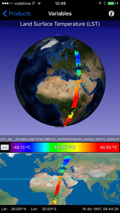
- Impressive visualization of ERS measurements over the Earth with vertical profiles and with acquisition strip over the earth
- Access to several geophysical parameters measured by the satellite
…and much more
In the 3D environment:
- swipe/pinch to rotate/zoom the satellite model
- triple touch to reset position
Disclaimer:
AppAdvice does not own this application and only provides images and links contained in the iTunes Search API, to help our users find the best apps to download. If you are the developer of this app and would like your information removed, please send a request to takedown@appadvice.com and your information will be removed.
AppAdvice does not own this application and only provides images and links contained in the iTunes Search API, to help our users find the best apps to download. If you are the developer of this app and would like your information removed, please send a request to takedown@appadvice.com and your information will be removed.