You are using an outdated browser. Please
upgrade your browser to improve your experience.

NZ Topographic maps for outdoor users (tramping, hiking, hunting, fishing, search and rescue)

New Zealand topo maps (Doug's)
by Douglas Forster


What is it about?
NZ Topographic maps for outdoor users (tramping, hiking, hunting, fishing, search and rescue)
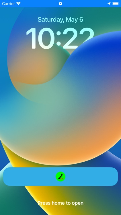
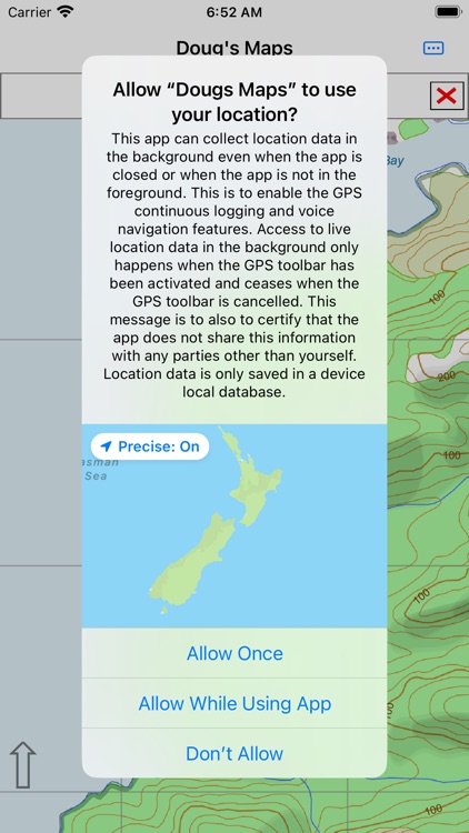
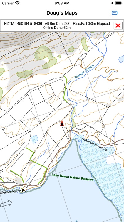
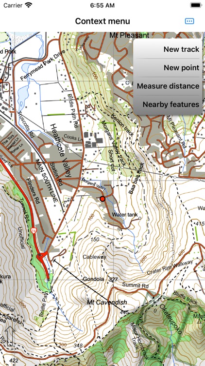
App Screenshots
App Store Description
NZ Topographic maps for outdoor users (tramping, hiking, hunting, fishing, search and rescue)
Easy to use GPS functionality.
Print maps to networked printer or PDF file.
No advertisements.
Download complete maps after installation of app (no additional cost). No internet or cellular connection needed after that.
Vector maps are displayed on the fly from a database of map features. These maps scale nicely, are clear at any resolution and contain multiple layers of feature names appropriately sized to the displayed resolution. They rotate nicely and names flip to a readable orientation. Map databases are based on up to date official data obtained from Land Information New Zealand and the Department of Conservation. The topographic maps are rendered with colours similar to traditional topographic maps. The property maps are rendered with custom colors. The property map shows public property in the green / blue areas (Conservation or local body) and yellow areas (public roads). You can easily see if you are currently on private or public land.
Most other mapping apps use raster data but our map data is more compact than raster data:
Topographic maps: 1.2 GB
Property maps: 0.5 GB
Main map functions - all available offline:
• Turn on GPS logging with a simple menu touch.
• When the GPS is on see where you are on the map
• Drop a waypoint at your GPS location with a simple menu touch
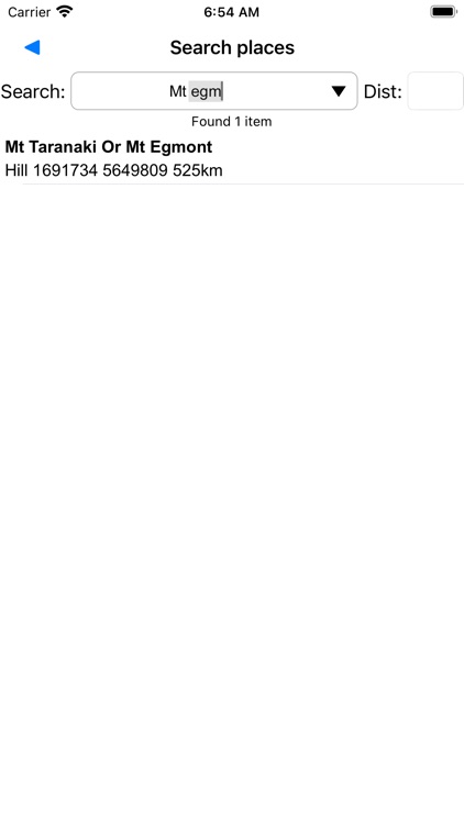
• Search for a pre-loaded waypoint or track log
• Search for place name
• Search for street address
• Search by map coordinates. Can use NZTM or NZMG projections including 6 or 8 digit short coordinates and map reference if necessary. Or lat/long.
• Make a waypoint based on the above searches
• Create Goto line from current location to specified target to assist GPS navigation
• Optional voice navigation of user defined route or Goto line
• Proximity user waypoints with voice announcement.
User features (tracks and waypoints) can be added to the maps on the fly or by upload.
Main user feature functions:
• Tracks and waypoints can be imported from GPX files
• Store as many user features as you like in the user feature database.
• Waypoint created on the fly via press and hold context menu
• Move waypoint as required
• Track created on the fly via press and hold context menu and simple track drawing tools
• Track recorded by live GPS function
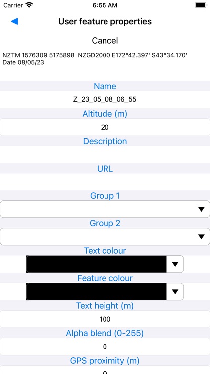
• Edit name, colour, notes, track format etc associated with user features
• Manage user features in bulk
• Export user features to file or iCloud.
• View profile graphs of track features.
• If online view user features on Google Earth.
Disclaimer:
AppAdvice does not own this application and only provides images and links contained in the iTunes Search API, to help our users find the best apps to download. If you are the developer of this app and would like your information removed, please send a request to takedown@appadvice.com and your information will be removed.
AppAdvice does not own this application and only provides images and links contained in the iTunes Search API, to help our users find the best apps to download. If you are the developer of this app and would like your information removed, please send a request to takedown@appadvice.com and your information will be removed.