You are using an outdated browser. Please
upgrade your browser to improve your experience.

If you're planning on visiting Hornby Island, British Columbia, Canada, don't forget your mountain bike

TrailMapps: Hornby Island
by Ryan Robertson

What is it about?
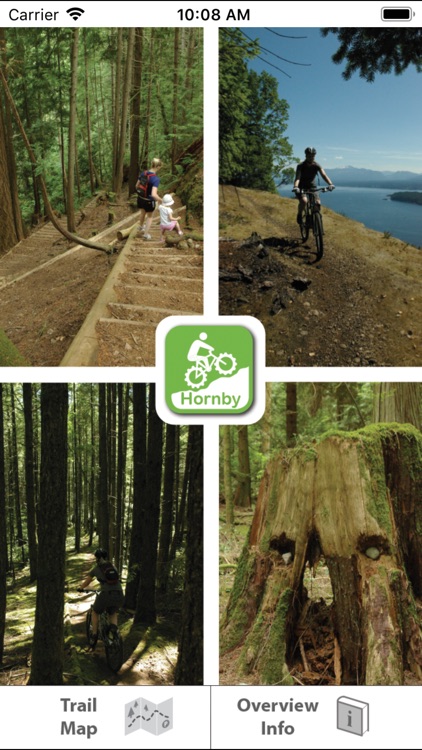
If you're planning on visiting Hornby Island, British Columbia, Canada, don't forget your mountain bike. If you don't already know, Hornby Island hosts an amazing network of single track trails. There are over 40 kilometres of pure single track bliss to be found here and it's all within in a relatively small area. There is seemingly no end to the amount of creative loops you can ride. It's all so picturesque as well. Time and again you will feel as though you're riding through a mountain bike magazine cover shot.
App Screenshots
App Store Description
If you're planning on visiting Hornby Island, British Columbia, Canada, don't forget your mountain bike. If you don't already know, Hornby Island hosts an amazing network of single track trails. There are over 40 kilometres of pure single track bliss to be found here and it's all within in a relatively small area. There is seemingly no end to the amount of creative loops you can ride. It's all so picturesque as well. Time and again you will feel as though you're riding through a mountain bike magazine cover shot.
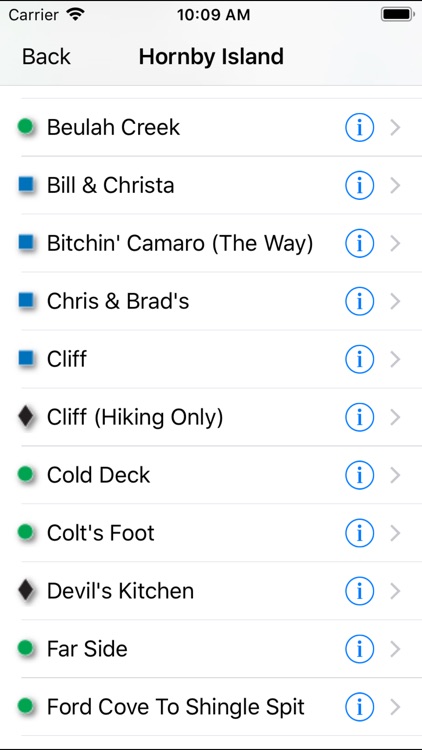
Includes over 40 named trails with descriptions (tap the blue arrow in the "Trail Info" list).
Features:
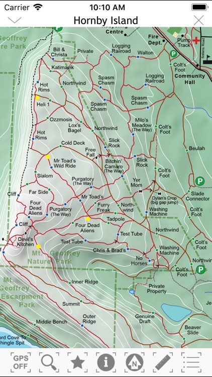
-info buttons along trails (tap to open detail pages)
-info buttons can be toggled on and off (the default is off - tap the "i" button in the toolbar to turn them on)
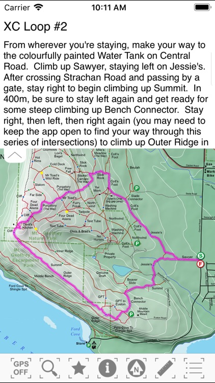
-a few suggested routes to help you understand how best to enjoy the trails
-user location can be displayed on the map
-compass graphic to assist with map orientation
-dynamic scale bars to help judge distances
-trail difficulty ratings
-trail lengths
-trail descriptions
-auto pan and zoom map to selected trail
Disclaimer:
AppAdvice does not own this application and only provides images and links contained in the iTunes Search API, to help our users find the best apps to download. If you are the developer of this app and would like your information removed, please send a request to takedown@appadvice.com and your information will be removed.
AppAdvice does not own this application and only provides images and links contained in the iTunes Search API, to help our users find the best apps to download. If you are the developer of this app and would like your information removed, please send a request to takedown@appadvice.com and your information will be removed.