You are using an outdated browser. Please
upgrade your browser to improve your experience.
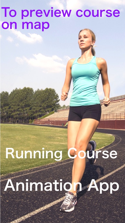
It is application to make a preliminary inspection of a running (walking) course with a picture

Course Preview App - picturization of running scene
by Akihiro Nishioka

What is it about?
It is application to make a preliminary inspection of a running (walking) course with a picture.
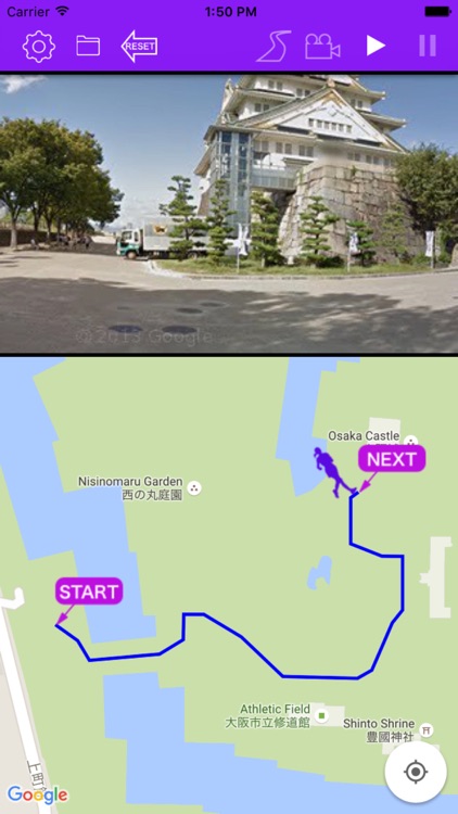
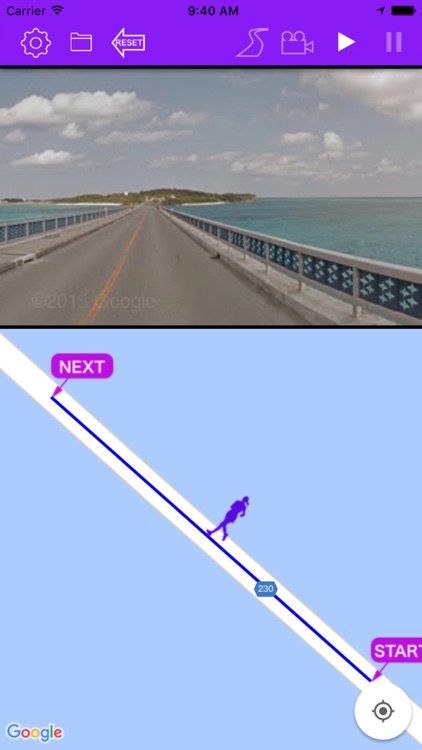
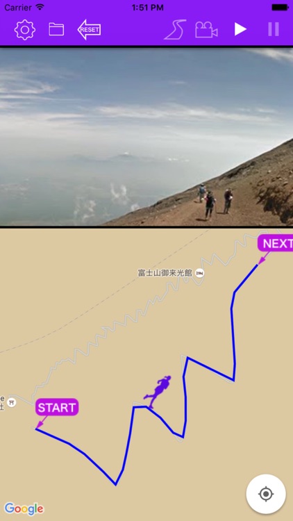
App Screenshots
App Store Description
It is application to make a preliminary inspection of a running (walking) course with a picture.
We can make a preliminary inspection even with a Google Street View , but force doubles when we make this the picture in the filler. Beautiful scenery totally really unfolds as if I run on the root along the unrelated shore or an unknown European street corner . I can run tentatively at the place where is as good as you wished. For the confirmation of the route that went along and for the development of a new root, please use this devise .
Main function:
1 Depending on replaying of the video , the car marker on the map traces the route .
2 You can save the driving video and the route information that you made once. These videos can be reproduced including route tracing again and again .
3 Route search feature is enriched . You can tap the next points even how many times, and a route is settled along this . It is modifiable by this point push and hold when only a part of points wants to be changed .
4 Distance , duration and elevation of course will be displayed . But because use of data by Japanese Geographical Survey Inst. , elevation of course is Japan-limited .
5 When device is in sideways-facing , video will be replayed in a full screen .
6 With the four options of setting , you can control the creating of a video .
◯ Adjustment of the replaying speed of video .
◯ Adjustment of the interval between Street View’ images on the route .
◯ Selection of three phases of the image precision .
◯ Change of mode , walking or driving .
How to create video:
1 Tap on the map for marking start-point .
2 A next point is set when you tap it after the second, and a route enlarges sequentially.
3 A goal point is settled when I click the road mark in the menu. A route appears on a map, and the route information such as distance, the pitch difference in this way appears in the screen lower part.
4 If this is enough, please push the camera mark in the menu, and the making of the animation begins automatically.
Buttons on the menu:
From left
Setup button
When the button pushed , this setting page will be opened .
Foulder button
From this button , you can discover the saved movie files with specific name .
Reset button
When this button pushed , all markars and route on the map are deleted and are ready for next route creating .
Road button
When the button pushed , the route will be confirmed .
Camera button
When the button pushed , creation of video will start .
Replay button
With these button , you can replay the video .
Disclaimer:
AppAdvice does not own this application and only provides images and links contained in the iTunes Search API, to help our users find the best apps to download. If you are the developer of this app and would like your information removed, please send a request to takedown@appadvice.com and your information will be removed.
AppAdvice does not own this application and only provides images and links contained in the iTunes Search API, to help our users find the best apps to download. If you are the developer of this app and would like your information removed, please send a request to takedown@appadvice.com and your information will be removed.