You are using an outdated browser. Please
upgrade your browser to improve your experience.

Mt

Dirfys topoguide
by Topoguide - T ADAMAKOPOULOS - A ADAMAKOPOULOS O.E.

What is it about?
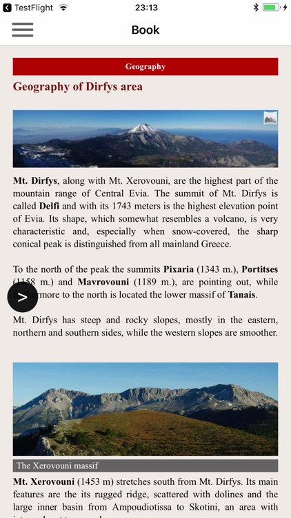
Mt. Dirfys is the highest part of the mountain range of Central Euboea (or Evia). With its 1743 meters, the summit of Mt. Dirfys is the highest elevation point of Euboea island. Its volcano shape is very characteristic, especially when covered in snow, and can be distinguished from most summits of Central Greece.
App Screenshots


App Store Description
Mt. Dirfys is the highest part of the mountain range of Central Euboea (or Evia). With its 1743 meters, the summit of Mt. Dirfys is the highest elevation point of Euboea island. Its volcano shape is very characteristic, especially when covered in snow, and can be distinguished from most summits of Central Greece.
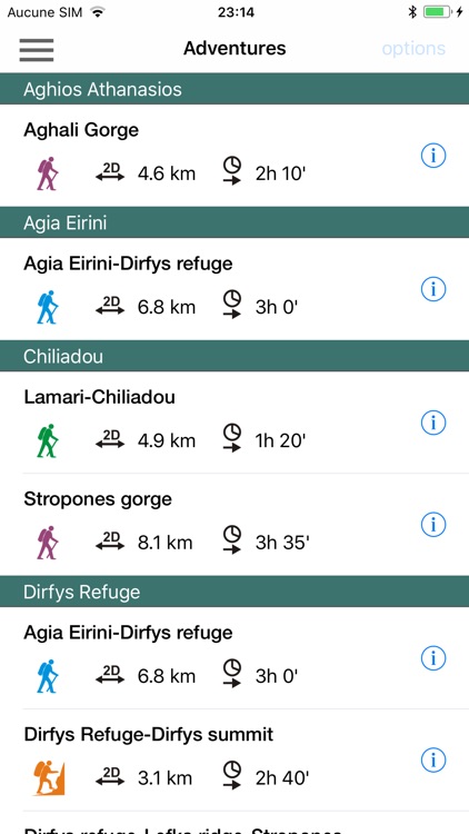
Dirfys topoguide is a digital field guide for Mt. Dirfys wider region. It includes routes, text, and photos and provides active navigation to the hiker. The application includes 26 hiking and 3 MTB routes, the 2 loops of Dirfys Marathon race, as well as a 58 km SUV tour. The hiking trails list includes easy and moderate hiking trails and harder mountain ascents, of a total length of 153 km.
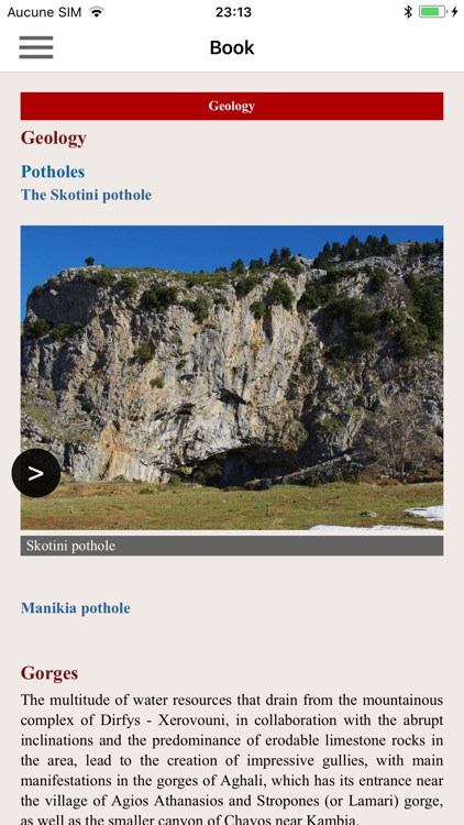
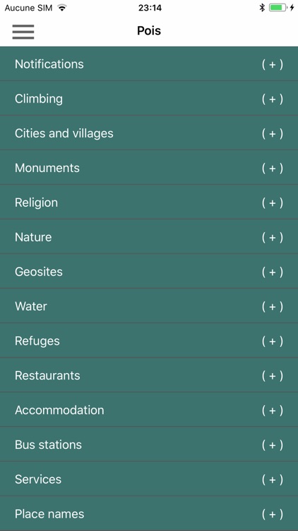
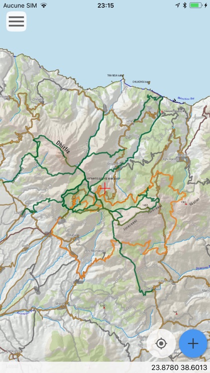
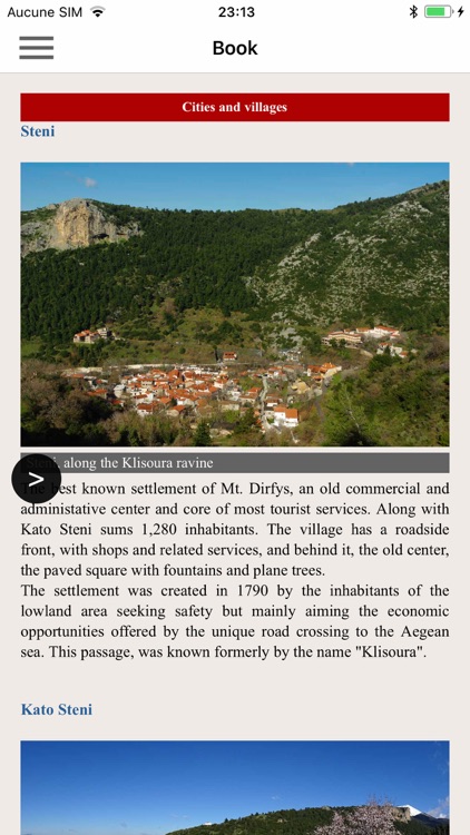
The application offers detailed offline maps and an extensive introduction on geography, the nature and the monuments of Mt. Dirfys. The app offers also a useful list of some 200 POIs with a search feature on the map screen.
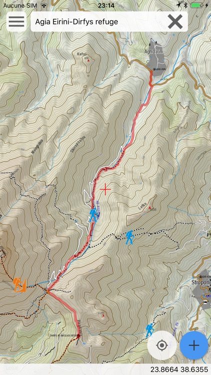
In the field, the app identifies the nearest adventure and provides active navigation on the path, displaying messages and warnings on every junction or other important location. On each Point of Interest, photos and texts are displayed on the map. If the hiker gets off-trail, the app indicates the shorter way to get back safely.
Also, a navigation feature allows to calculate routes and distances along roads and paths anywhere in the area.
The cartographic company AnaDigit, creator of the application, has issued previously detailed hiking maps at a scale of 1: 25,000 for Mt. Dirfys, as well as hundreds other hiking maps for Greece (eg. maps of Mt. Olympus,Crete, Zagori, Sifnos, Naxos and other Aegean islands). To build the application and ensuring data accuracy, all paths of Mt. Dirfys have been recorded again during 2016.
Disclaimer:
AppAdvice does not own this application and only provides images and links contained in the iTunes Search API, to help our users find the best apps to download. If you are the developer of this app and would like your information removed, please send a request to takedown@appadvice.com and your information will be removed.
AppAdvice does not own this application and only provides images and links contained in the iTunes Search API, to help our users find the best apps to download. If you are the developer of this app and would like your information removed, please send a request to takedown@appadvice.com and your information will be removed.