You are using an outdated browser. Please
upgrade your browser to improve your experience.

Southern Pelion topoGuide is a digital field guide for hikers and nature lovers visiting Mt

South Pelion topoguide
by Topoguide - T ADAMAKOPOULOS - A ADAMAKOPOULOS O.E.

What is it about?
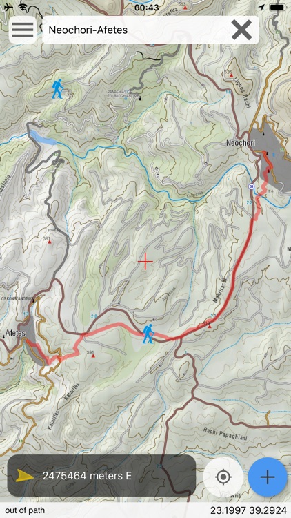
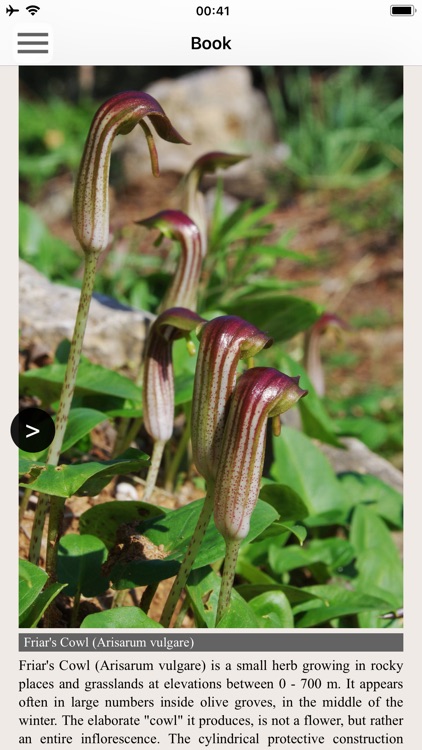
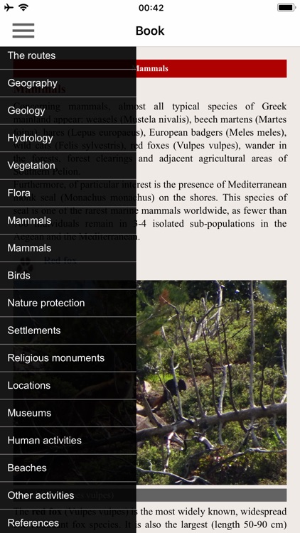
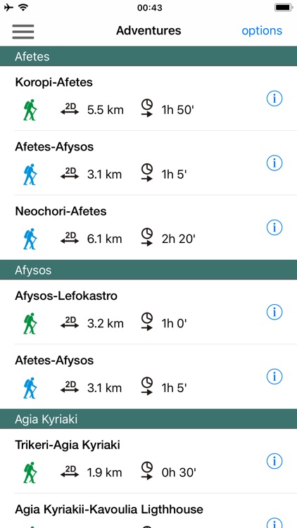
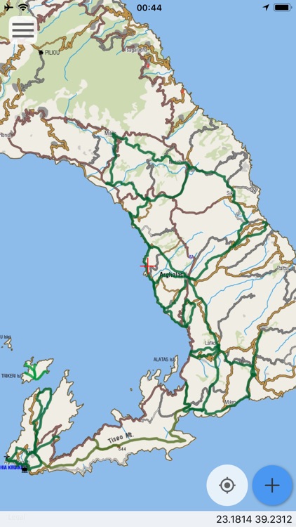
Southern Pelion topoGuide is a digital field guide for hikers and nature lovers visiting Mt. Pelion, Thessaly, Greece. It includes routes, descriptions and photos for 39 hiking and mountaineering trails for the Southern Pelion region, covering the Argalasti and Trikeri areas.
App Screenshots
App Store Description
Southern Pelion topoGuide is a digital field guide for hikers and nature lovers visiting Mt. Pelion, Thessaly, Greece. It includes routes, descriptions and photos for 39 hiking and mountaineering trails for the Southern Pelion region, covering the Argalasti and Trikeri areas.
The application offers detailed off-line maps and an extensive introduction on geography, geology, the nature of the southern part of Mt. Pelion area, as well as the rich cultural landscape of some 30 villages.
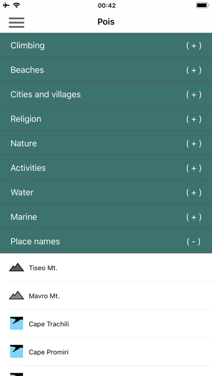
The app offers also a useful list of POIs with a comprehensive search engine.
The trails list includes easy and moderate hiking trails and long mountain traverses, of a total length of 210 km.
In the field, the application identifies the nearest route and make active navigation to it and then along it, with continuous messages to the user, while pops-up photos on every interesting or important terrain feature close to his position. If the hiker position is more than 20 meters far from the trail, the application warns him and suggests how to go back.
The cartographic company AnaDigit, creator of the application, has issued previously detailed hiking maps at a scale of 1: 25,000 for Mt. Pelion, as well as hundreds other hiking maps for Greece (eg. maps of Mt. Olympus, Crete, Zagori, Sifnos, Naxos and other Aegean islands). To build the application and ensuring data accuracy, all paths of Mt. Pelion have been revised during 2017.
Disclaimer:
AppAdvice does not own this application and only provides images and links contained in the iTunes Search API, to help our users find the best apps to download. If you are the developer of this app and would like your information removed, please send a request to takedown@appadvice.com and your information will be removed.
AppAdvice does not own this application and only provides images and links contained in the iTunes Search API, to help our users find the best apps to download. If you are the developer of this app and would like your information removed, please send a request to takedown@appadvice.com and your information will be removed.