You are using an outdated browser. Please
upgrade your browser to improve your experience.

Use your iPhone / iPad's GPS to map, measure or simply record places important to you

iMapIt Lite
by Marcus Silva

What is it about?
Use your iPhone / iPad's GPS to map, measure or simply record places important to you. Your device will be a GPS receiver and will collect geographic coordinates wherever you are. GPS needs satellite’s visibility. Thus, the more open your space, the better the accuracy of measurements.
App Screenshots
App Store Description
Use your iPhone / iPad's GPS to map, measure or simply record places important to you. Your device will be a GPS receiver and will collect geographic coordinates wherever you are. GPS needs satellite’s visibility. Thus, the more open your space, the better the accuracy of measurements.
* Geographic coordinates collection formats:
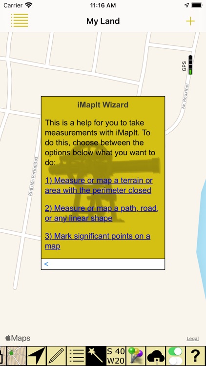
. Points - Mark specific places with a point, such as the place you most like to go to, or the starting point of a race, or even the point where you saw a rare bird;
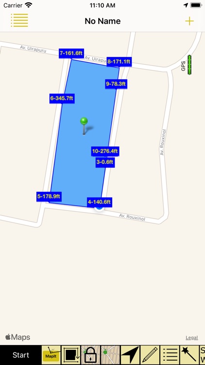
. Lines or paths - A sequence of points forming a line to mark a trail where you have walked, or the path you have taken on a run, or the path to your new house, either the location of a new fence you want to build. All mapped lines are measured for you in metric and imperial units;
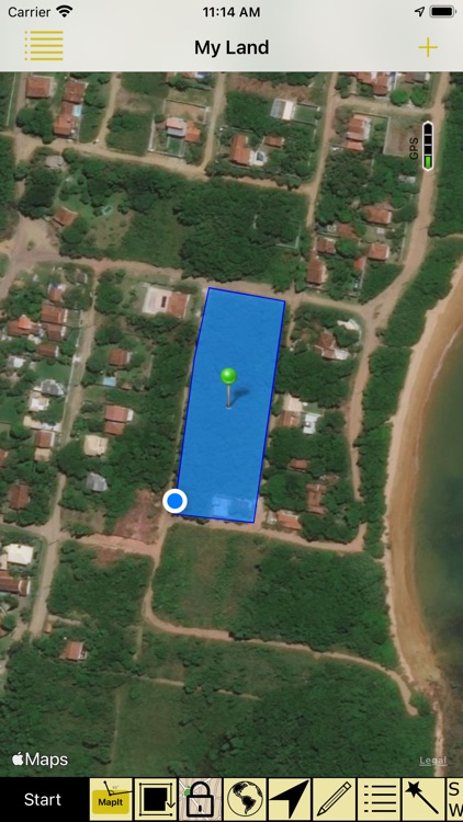
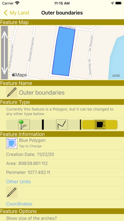
. Areas or polygons - A sequence of points, forming a closed region, to mark land that you are interested in buying, or show the map of your land, or measure the outline of your new house, or delimit the region where you want to build a pool. All mapped areas are calculated for you in metric, imperial and Thai units;
The LITE version measures line’s length or polygon’s area of your FIRST survey only.
* How to collect coordinates:
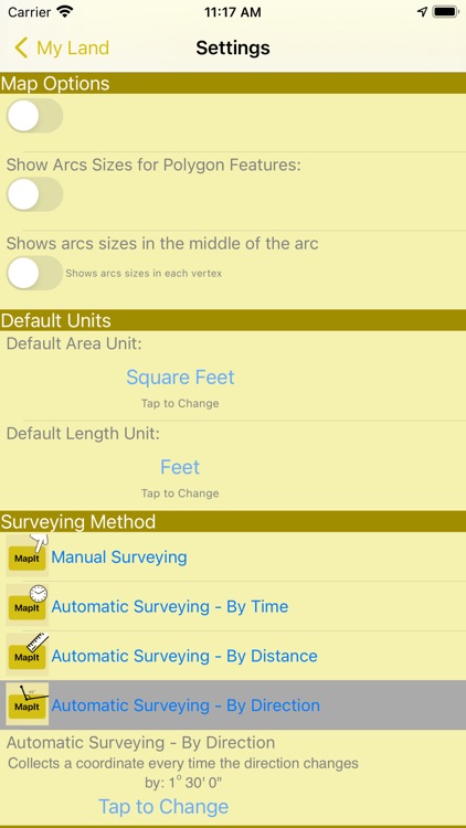
. Manually: You position yourself and tap the MapIt button to collect a coordinate;
. Automatically by Time: A coordinate is collected at each defined time interval;
. Automatically by Distance: A coordinate is collected at each interval of a pre-defined distance;
. Automatically by Direction: A coordinate is collected each time you change the direction of your displacement at an angle greater than a defined limit;
* Presentation within iMapIt:
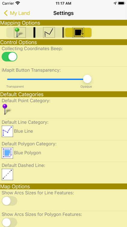
Points, lines and polygons can be represented by different types of pins, colors, strokes and fills.
* Export your surveys:
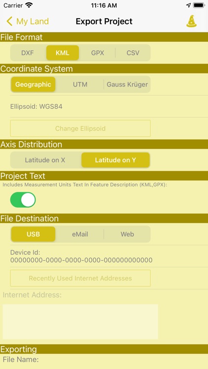
. Available only in Pro version;
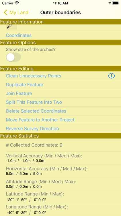
* Editing functions of surveys performed:
. Feature duplication;
. Union of existing features;
. Division of a feature in two;
. Deletion of unwanted coordinates;
. Automatic cleaning of unnecessary points;
. Move a feature to a new project;
Disclaimer on the accuracy of the surveys:
All points, paths or areas are surveyed using the GPS accuracy of your device. This is not a professional precision GPS equipment. So your surveys may vary when compared to the actual dimensions.
Restrictions of the LITE version:
The export of collected data is not allowed.
The length of the paths and the size of the mapped areas are calculated only for the very FIRST survey.
Ads are presented in map screen.
Disclaimer:
AppAdvice does not own this application and only provides images and links contained in the iTunes Search API, to help our users find the best apps to download. If you are the developer of this app and would like your information removed, please send a request to takedown@appadvice.com and your information will be removed.
AppAdvice does not own this application and only provides images and links contained in the iTunes Search API, to help our users find the best apps to download. If you are the developer of this app and would like your information removed, please send a request to takedown@appadvice.com and your information will be removed.