You are using an outdated browser. Please
upgrade your browser to improve your experience.

LINZ Geodetic Marks allows you to use the LINZ Geodetic database to locate nearby geodetic marks – while you’re out in the field

LINZ Geodetic Marks
by Land Information New Zealand

What is it about?
LINZ Geodetic Marks allows you to use the LINZ Geodetic database to locate nearby geodetic marks – while you’re out in the field.
App Screenshots

App Store Description
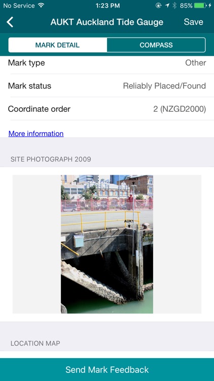
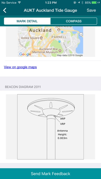
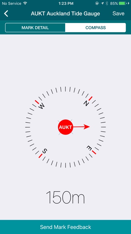
LINZ Geodetic Marks allows you to use the LINZ Geodetic database to locate nearby geodetic marks – while you’re out in the field.
You can use the application to
Locate nearby geodetic marks using the LINZ Geodetic database by name or through a Google maps interface
Navigate to a selected mark
View photographs of the mark
View a maintenance history
Save marks for viewing and navigating offline
You can find out more about the National Geodetic Office and LINZ online: http://www.linz.govt.nz
Disclaimer:
AppAdvice does not own this application and only provides images and links contained in the iTunes Search API, to help our users find the best apps to download. If you are the developer of this app and would like your information removed, please send a request to takedown@appadvice.com and your information will be removed.
AppAdvice does not own this application and only provides images and links contained in the iTunes Search API, to help our users find the best apps to download. If you are the developer of this app and would like your information removed, please send a request to takedown@appadvice.com and your information will be removed.