You are using an outdated browser. Please
upgrade your browser to improve your experience.

Mt

Parnassos topoguide
by Topoguide - T ADAMAKOPOULOS - A ADAMAKOPOULOS O.E.
What is it about?
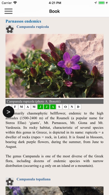
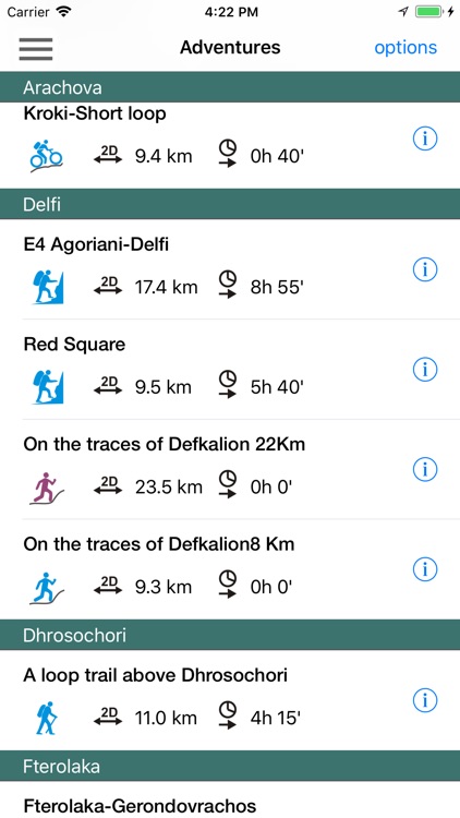
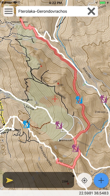
Mt. Parnassos topoguide is a digital field guide for hikers, bikers and nature lovers. It includes routes, descriptions and photos for 23 hiking and mountaineering trails, 8 mountain bike (MTB) routes and 4 mountain running trails, which spread throughout the Mt. Parnassos, near Delfi, Greece, including Parnassos National Park. Each Adventure has a description, photos and a POIs list. Hiking routes include European Trail E4 and National Trail O22.
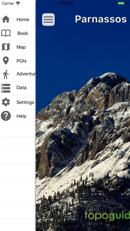
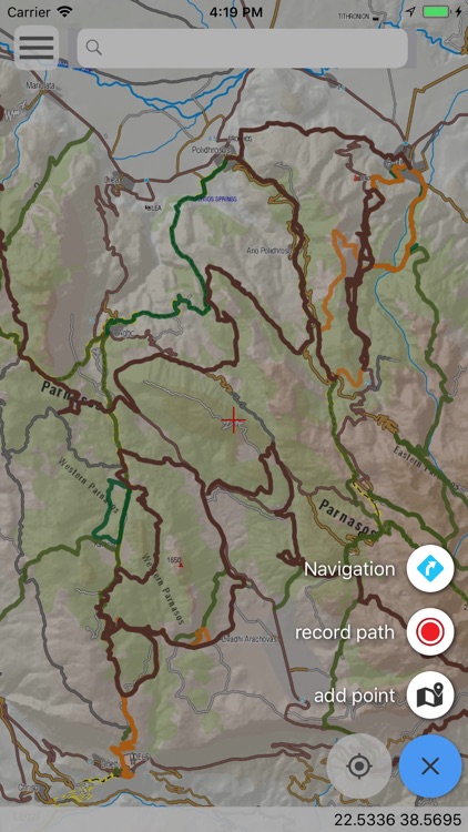
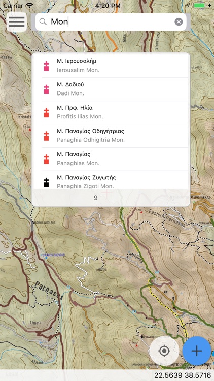
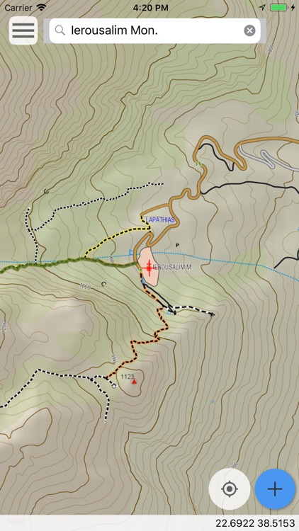
App Screenshots
App Store Description
Mt. Parnassos topoguide is a digital field guide for hikers, bikers and nature lovers. It includes routes, descriptions and photos for 23 hiking and mountaineering trails, 8 mountain bike (MTB) routes and 4 mountain running trails, which spread throughout the Mt. Parnassos, near Delfi, Greece, including Parnassos National Park. Each Adventure has a description, photos and a POIs list. Hiking routes include European Trail E4 and National Trail O22.
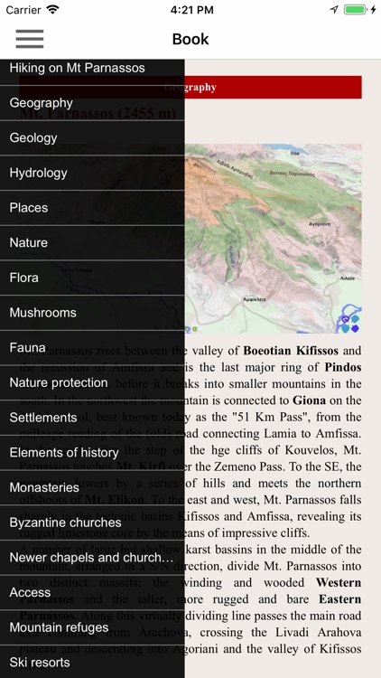
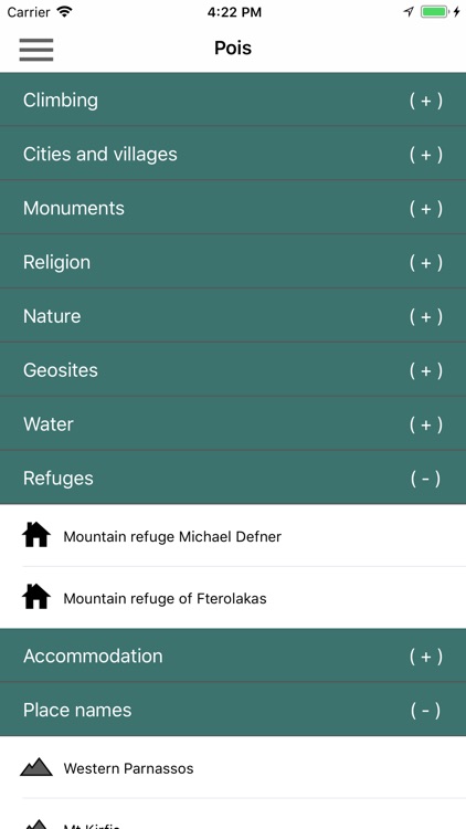
The application offers detailed offline maps and an extensive introduction on geography, geology, the ancient defensive system, the history and the nature of Mt. Parnassos. The app offers also a useful list of POIs with a comprehensive search engine.
The trails list includes easy and moderate hiking trails and long mountain traverses, of a total length of 250 km.
The MTB routes cover all levels of difficulty and sum a total length of 150 km.
The mountain running trails include all mountain running courses actually done on Mt. Parnassos.
In the field, the app identifies the nearest adventure, guides you to it and then along it by displaying messages and warnings on every junction or other important location. On each Point of Interest, photos and texts are displayed on the map. If the hiker gets off-trail, the app indicates the shorter way to get back safely.
Also, a navigation feature allows to calculate routes and distances along roads and paths anywhere in the area.
The cartographic company AnaDigit, creator of the application, has issued previously detailed hiking maps at a scale of 1: 25,000 for Mt. Parnassos, as well as hundreds other hiking maps for Greece (eg. maps of Mt. Olympus, Crete, Zagori, Sifnos, Naxos and other Aegean islands). To build the application and ensure data accuracy, all paths of Mt. Parnassos have been recorded again during 2015.
Disclaimer:
AppAdvice does not own this application and only provides images and links contained in the iTunes Search API, to help our users find the best apps to download. If you are the developer of this app and would like your information removed, please send a request to takedown@appadvice.com and your information will be removed.
AppAdvice does not own this application and only provides images and links contained in the iTunes Search API, to help our users find the best apps to download. If you are the developer of this app and would like your information removed, please send a request to takedown@appadvice.com and your information will be removed.