You are using an outdated browser. Please
upgrade your browser to improve your experience.

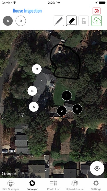
Save Location pictures with a reference map denoting the pictures locations

Site Surveyor
by Michael Robinson
What is it about?
Save Location pictures with a reference map denoting the pictures locations.
App Screenshots
App Store Description
Save Location pictures with a reference map denoting the pictures locations.
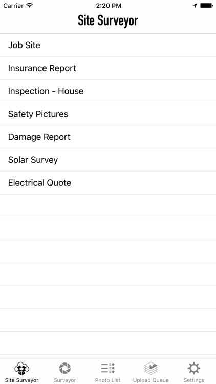
Step 1. Bring up a satellite map of location. Name "Site Name".
Step 2. Drag a picture icon/button to location on map where picture is being taken from.
Step 3. Hold down button and take picture.
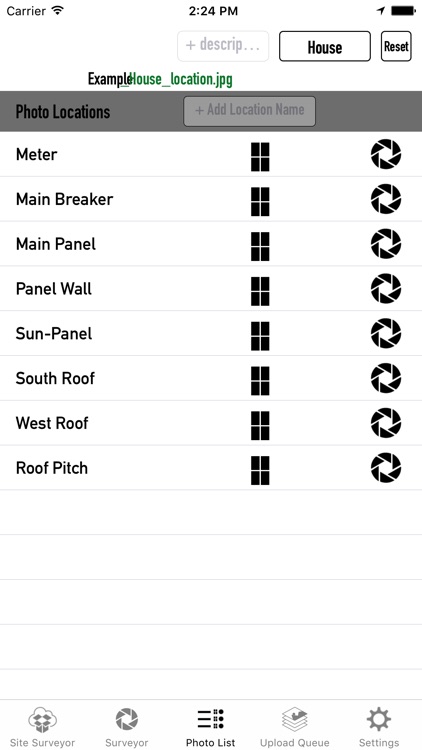
Step 4. Pictures are uploaded to Dropbox folder named "Site Name".... files are named "sitename_1.jpg"
Step 5. After all pictures are taken, save Screen Capture denoting photo locations. The screen capture along with a google earth placemark (kml) will upload to dropbox.
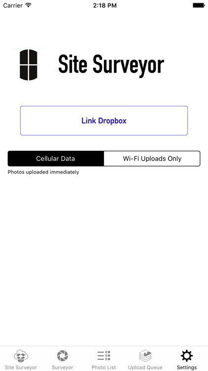
Requires a DropBox account.
Disclaimer:
AppAdvice does not own this application and only provides images and links contained in the iTunes Search API, to help our users find the best apps to download. If you are the developer of this app and would like your information removed, please send a request to takedown@appadvice.com and your information will be removed.
AppAdvice does not own this application and only provides images and links contained in the iTunes Search API, to help our users find the best apps to download. If you are the developer of this app and would like your information removed, please send a request to takedown@appadvice.com and your information will be removed.