You are using an outdated browser. Please
upgrade your browser to improve your experience.

Western Pelion topoGuide is a digital field guide for hikers and nature lovers visiting Mt

West Pelion topoguide
by Topoguide - T ADAMAKOPOULOS - A ADAMAKOPOULOS O.E.

What is it about?
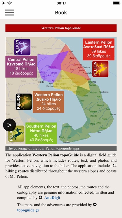
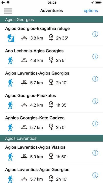
Western Pelion topoGuide is a digital field guide for hikers and nature lovers visiting Mt. Pelion, Thessaly, Greece. It includes routes, descriptions and photos for 24 hiking and mountaineering trails for the Western Pelion region, covering the Milies, Vyzitsa, Pinakates, Agios Lavrentios and Lechonia area.
App Screenshots
App Store Description
Western Pelion topoGuide is a digital field guide for hikers and nature lovers visiting Mt. Pelion, Thessaly, Greece. It includes routes, descriptions and photos for 24 hiking and mountaineering trails for the Western Pelion region, covering the Milies, Vyzitsa, Pinakates, Agios Lavrentios and Lechonia area.
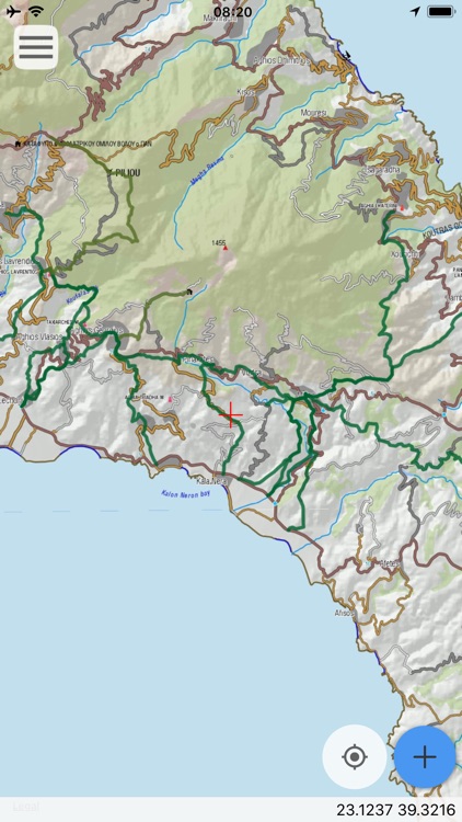
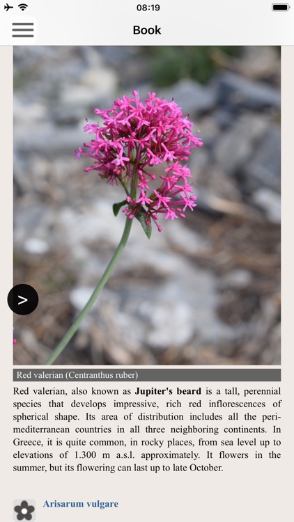
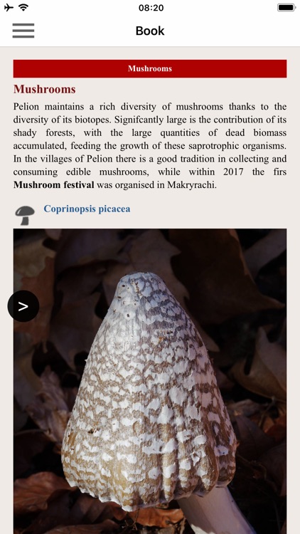
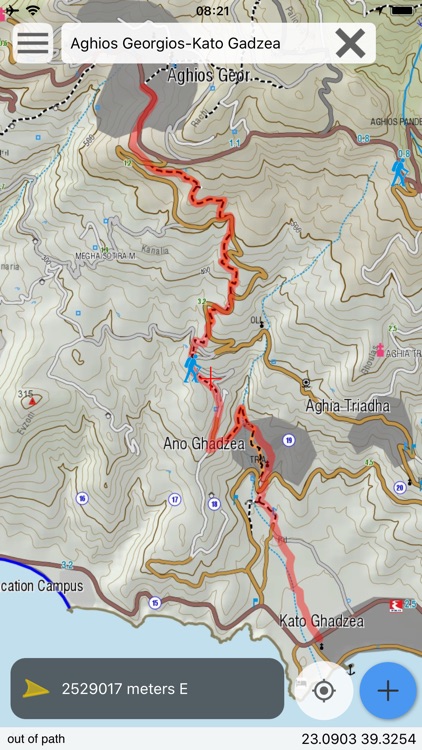
The application offers detailed off-line maps and an extensive introduction on geography, geology, the nature of the western side of Mt. Pelion area, as well as the rich cultural landscape of some 15 villages.
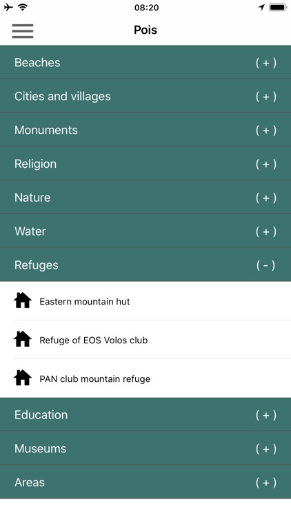
The app offers also a useful list of POIs.
The trails list includes easy and moderate hiking trails and long mountain traverses, of a total length of 125 km.
In the field, the app identifies the nearest adventure, guides you to it and then along it by displaying messages and warnings on every junction or other important location. On each Point of Interest, photos and texts are displayed on the map. If the hiker gets off-trail, the app indicates the shorter way to get back safely.
The cartographic company AnaDigit, creator of the application, has issued previously detailed hiking maps at a scale of 1: 25,000 for Mt. Pelion, as well as hundreds other hiking maps for Greece (eg. maps of Mt. Olympus, Crete, Zagori, Sifnos, Naxos and other Aegean islands). To build the application and ensuring data accuracy, all paths of Mt. Pelion have been revised during late 2017.
Disclaimer:
AppAdvice does not own this application and only provides images and links contained in the iTunes Search API, to help our users find the best apps to download. If you are the developer of this app and would like your information removed, please send a request to takedown@appadvice.com and your information will be removed.
AppAdvice does not own this application and only provides images and links contained in the iTunes Search API, to help our users find the best apps to download. If you are the developer of this app and would like your information removed, please send a request to takedown@appadvice.com and your information will be removed.