You are using an outdated browser. Please
upgrade your browser to improve your experience.
This app brings the Mt

Mt Tam Trail Map
by Earthrover Software

What is it about?
This app brings the Mt. Tam
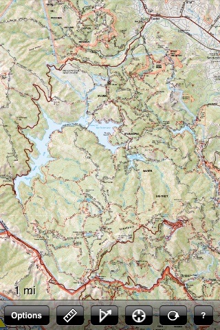
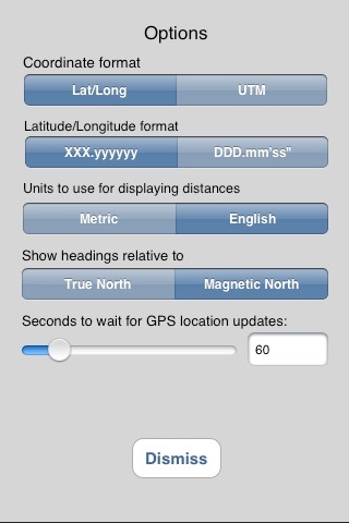
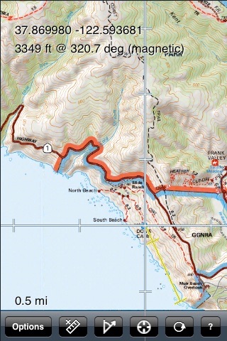
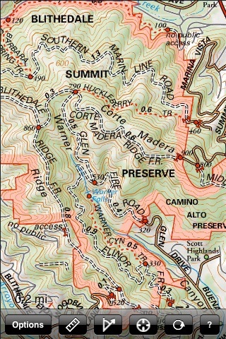
App Screenshots
App Store Description
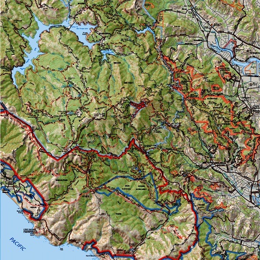
This app brings the Mt. Tam
Trail Map from Tom Harrison Maps to the
iPhone and iPod touch. This map covers
Mt. Tamalpais State Park, Muir Woods
National Monument, Blithedale Summit
Preserve, part of Golden Gate National
Recreation Area, and surrounding areas.
The map shows trails, backcountry
roads, highways, towns, water features,
peaks, canyons, campgrounds, ranger
stations, and more. This map is perfect
for hiking, mountain biking, geocaching,
orienteering, and just about any other way you'd want to explore this area.
Navigate the map using standard touch
gestures to zoom and drag. Mark your
location, measure distances, orient
yourself by taking bearings to landmarks,
and use your iPhone's GPS to find your
location on the map. Add your own markers
to the map, and export them via email for
display in Google Earth or other
applications.
Disclaimer:
AppAdvice does not own this application and only provides images and links contained in the iTunes Search API, to help our users find the best apps to download. If you are the developer of this app and would like your information removed, please send a request to takedown@appadvice.com and your information will be removed.
AppAdvice does not own this application and only provides images and links contained in the iTunes Search API, to help our users find the best apps to download. If you are the developer of this app and would like your information removed, please send a request to takedown@appadvice.com and your information will be removed.