You are using an outdated browser. Please
upgrade your browser to improve your experience.

The Phrygian Trekking Route is one of the longest trails in Turkey

Phrygian Way
by Kate Clow


What is it about?
The Phrygian Trekking Route is one of the longest trails in Turkey. Planned with great care for the comfort and enjoyment of hikers, the route passes through the renowned Phrygian Valleys where hikers may visit the ruins of ancient civilisations and enjoy the natural beauty of the region. The Trekking Route is 506 kilometres long, and is marked with red-white waymarks in accordance with international standards. The Route has three starting points and the trails meet at the Yazilikaya (Inscribed Rock), which was a focal point for the Phrygians. Hikers may start the route at the following points: 1) Gordium (Polatli, Ankara), 2) Seydiler (Afyonkarahisar), and 3) Yenice Farm Ciftligi (Ahmetoglu Village, Kutahya).
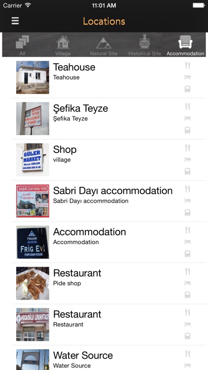
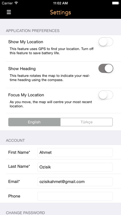
App Screenshots
App Store Description
The Phrygian Trekking Route is one of the longest trails in Turkey. Planned with great care for the comfort and enjoyment of hikers, the route passes through the renowned Phrygian Valleys where hikers may visit the ruins of ancient civilisations and enjoy the natural beauty of the region. The Trekking Route is 506 kilometres long, and is marked with red-white waymarks in accordance with international standards. The Route has three starting points and the trails meet at the Yazilikaya (Inscribed Rock), which was a focal point for the Phrygians. Hikers may start the route at the following points: 1) Gordium (Polatli, Ankara), 2) Seydiler (Afyonkarahisar), and 3) Yenice Farm Ciftligi (Ahmetoglu Village, Kutahya).
The project is sponsored by FRIGKUM (Association for Development and Protection of Phrygian Cultural Heritage) and was completed in 2013 by a small volunteer team led by Huseyin Sari. The Route was planned in order to introduce trekkers and cyclists to Phrygian culture, and to enable them to enjoy a safe journey through the Phrygian Valleys along trails once used by the Phrygians.
The trail starts at Gordium, the political capital of the Phrygians, then follows the valley of the Porsuk (ancient Tembris) River, passes through Sivrihisar (ancient Spaleia), and arrives at Pessinous (Ballikaya), another important Phrygian settlement. The trail then enters the valley of the Sakarya (ancient Sangarius) River, where you enter a completely different world. After the Sakarya Valley, the trail enters the region known as Mountainous Phrygia. The trail then reaches the Yazilikaya, the site of the Midas monument, which formed the cult centre of the Phrygians. Here the trail splits into two. One branch leads to Findikli Village passing through the Asmainler, Zahran, and Inli Valleys, once home to Phrygian settlements. This branch terminates at Yenice Farm on the highway between Kutahya and Eskisehir. The other branch passes through Saricaova, a picturesque Circassian village, and Doger, town in Afyonkarahisar. The trail then takes you through Ayazini Town before coming to an end at Seydiler, on the highway between Afyonkarahisar and Ankara. Hikers who complete these trails will treasure the memory forever.
The best time to trek is spring and autumn, but there are different attractions in all seasons. Along the trail, there are plenty of springs for water year-round.
Disclaimer:
AppAdvice does not own this application and only provides images and links contained in the iTunes Search API, to help our users find the best apps to download. If you are the developer of this app and would like your information removed, please send a request to takedown@appadvice.com and your information will be removed.
AppAdvice does not own this application and only provides images and links contained in the iTunes Search API, to help our users find the best apps to download. If you are the developer of this app and would like your information removed, please send a request to takedown@appadvice.com and your information will be removed.