You are using an outdated browser. Please
upgrade your browser to improve your experience.
The best drone maps and models come from the best drone flights

Skycatch Flight App for DJI — Drone Flight App
by Skycatch
What is it about?
The best drone maps and models come from the best drone flights. Automate aerial mapping with your DJI drone and get high-resolution maps and 3D models in minutes.
App Details
Version
1.8
Rating
(9)
Size
74Mb
Genre
Business Utilities
Last updated
January 11, 2017
Release date
April 5, 2016
More info
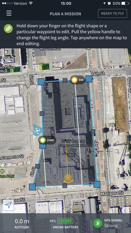
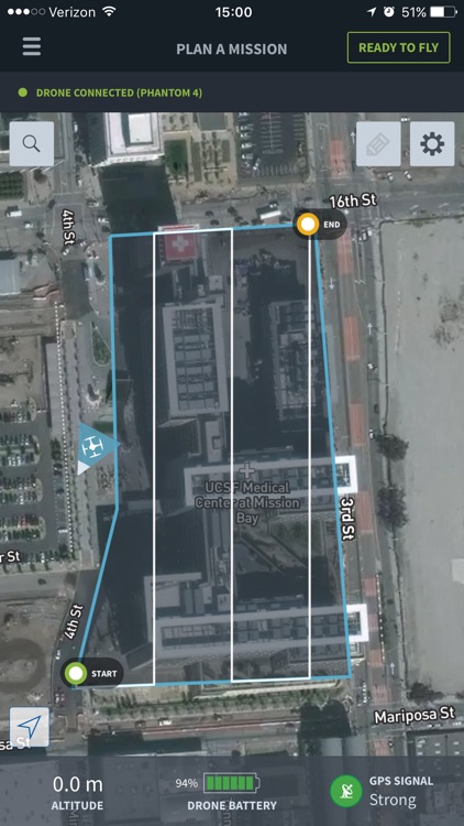
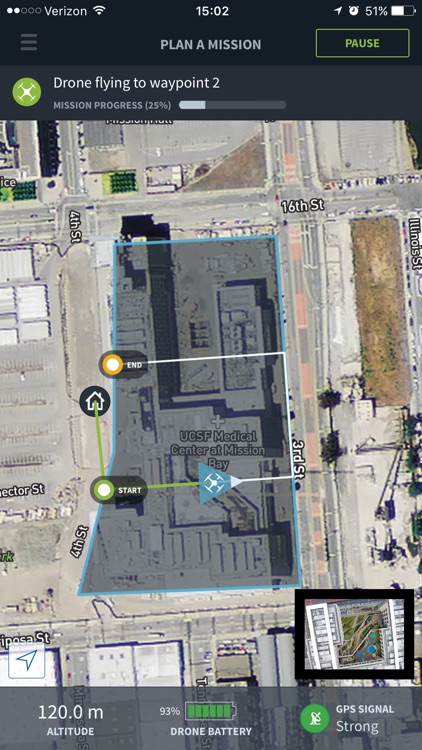
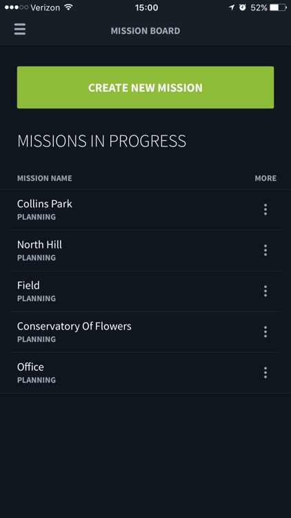
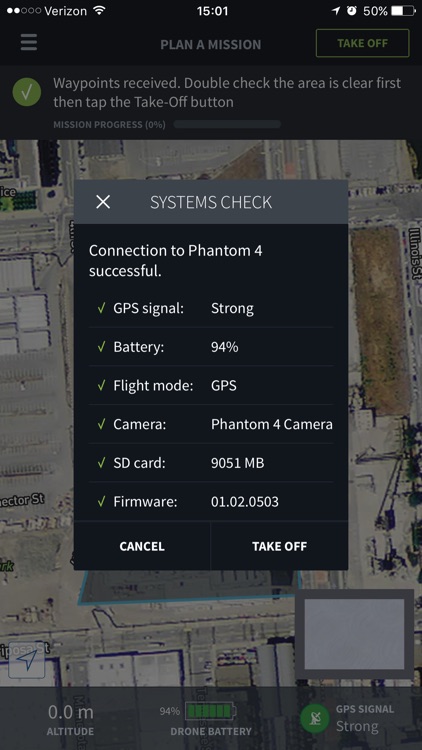
App Screenshots
App Store Description
The best drone maps and models come from the best drone flights. Automate aerial mapping with your DJI drone and get high-resolution maps and 3D models in minutes.
From takeoff to landing, the Skycatch drone flight app will autonomously fly your DJI drone and perfectly capture photos for 3D mapping.
Use with the latest DJI drones:
* DJI Phantom 3 Advanced / Pro
* Phantom 4 / Pro
* Inspire 1 / Pro
"Using Skycatch tools helps increase field productivity related to material staging and site logistics by up to 3 hours per week.” — Scott W, DPR Construction
How it works:
1. Outline the area you want to map.
2. Tap TAKEOFF to send your mission to your drone. Drone will complete mission autonomously.
3. Upload photos from your drone’s SD card to https://upload.skycatch.com and Skycatch photogrammetry will automatically cloud process into aerial maps and 3D models.
It’s that easy! Now you can view and share your processed data online and even markup, measure, overlay BIM & CAD files, and more.
Key features:
- In-app guidance plus quick access to tutorials, help docs, and chat support.
- Select the resolution you want and the app automatically calculates waypoints, altitude, speed, and overlap.
- Flight direction control: change the direction/heading of flight path depending on wind, terrain, and obstacles.
- Multi-flight missions: plan your entire flight once and if you need to replace your battery mid-flight just hit ‘Continue’ to pick up right where you left off.
- Save mission plans without having to re-plan — perfect for multiple sites and recurring data capture.
- Watch live video feed of your drone's flight right in the app.
Disclaimer:
AppAdvice does not own this application and only provides images and links contained in the iTunes Search API, to help our users find the best apps to download. If you are the developer of this app and would like your information removed, please send a request to takedown@appadvice.com and your information will be removed.
AppAdvice does not own this application and only provides images and links contained in the iTunes Search API, to help our users find the best apps to download. If you are the developer of this app and would like your information removed, please send a request to takedown@appadvice.com and your information will be removed.